File:Location map Los Angeles.png

Size of this preview: 625 × 600 pixels. Other resolutions: 250 × 240 pixels | 500 × 480 pixels | 795 × 763 pixels.
Original file (795 × 763 pixels, file size: 756 KB, MIME type: image/png)
Captions
Captions
Add a one-line explanation of what this file represents
| Description |
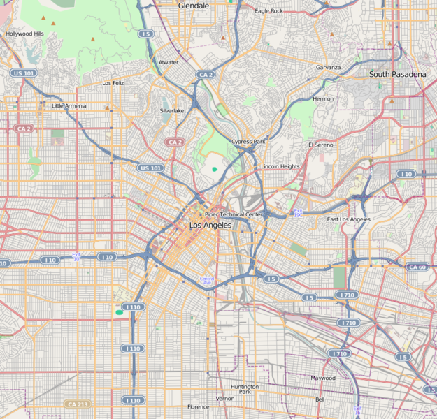
This map of Downtown Los Angeles and immediate area was created from OpenStreetMap project data, collected by the community. This map may be incomplete, and may contain errors. Don't rely solely on it for navigation. |
|||||||||
| Date | (see file history) | |||||||||
| Source | openstreetmap.org | |||||||||
| Creator |
OpenStreetMap contributors |
|||||||||
| Permission (Reusing this file) |
OpenStreetMap data and maps are licensed under the Creative Commons Attribution-ShareAlike 2.0 license (CC-BY-SA 2.0). This file is licensed under the Creative Commons Attribution-Share Alike 2.0 Generic license.
|
|||||||||
| Geotemporal data | ||||||||||
| Bounding box |
|
|||||||||
| Georeferencing | If inappropriate please set warp_status = skip to hide. | |||||||||
| Annotations | This image is annotated: View the annotations at Commons |
File history
Click on a date/time to view the file as it appeared at that time.
| Date/Time | Thumbnail | Dimensions | User | Comment | |
|---|---|---|---|---|---|
| current | 18:30, 18 May 2010 | | 795 × 763 (756 KB) | Dr. Blofeld~commonswiki (talk | contribs) | {{Information |Description={{en|1=s}} |Source=s |Author=s |Date=s |Permission= |other_versions= }} |
You cannot overwrite this file.
File usage on Commons
There are no pages that use this file.
File usage on other wikis
The following other wikis use this file:
- Usage on ar.wikipedia.org
- Usage on azb.wikipedia.org
- Usage on bh.wikipedia.org
- Usage on bn.wikipedia.org
- Usage on ceb.wikipedia.org
- Usage on en.wikipedia.org
- Hollywood, Los Angeles
- East Los Angeles, California
- U.S. Bank Tower (Los Angeles)
- Boyle Heights, Los Angeles
- Hancock Park, Los Angeles
- Echo Park
- Eagle Rock, Los Angeles
- Los Feliz, Los Angeles
- Mount Washington, Los Angeles
- Koreatown, Los Angeles
- Lincoln Heights, Los Angeles
- Silver Lake, Los Angeles
- Griffith Observatory
- Highland Park, Los Angeles
- Hollywood Hills
- Thai Town, Los Angeles
- Atwater Village, Los Angeles
- Pico-Union, Los Angeles
- Leimert Park, Los Angeles
- Little Tokyo, Los Angeles
- West Adams, Los Angeles
- Country Club Park, Los Angeles
- Westlake, Los Angeles
- Westin Bonaventure Hotel
- Little Armenia, Los Angeles
- North University Park, Los Angeles
- Larchmont, Los Angeles
- Harvard Heights, Los Angeles
- Jefferson Park, Los Angeles
- East Hollywood, Los Angeles
- Glassell Park, Los Angeles
- University Hills, Los Angeles
- Angelino Heights, Los Angeles
- Historic Filipinotown, Los Angeles
- Applied Scholastics
- Association for Better Living and Education
- Elysian Park, Los Angeles
- El Sereno, Los Angeles
View more global usage of this file.