File:Lokasi Kalimantan Selatan Kabupaten Tanah Laut.svg

Size of this PNG preview of this SVG file: 423 × 599 pixels. Other resolutions: 169 × 240 pixels | 339 × 480 pixels | 542 × 768 pixels | 723 × 1,024 pixels | 1,447 × 2,048 pixels | 744 × 1,053 pixels.
Original file (SVG file, nominally 744 × 1,053 pixels, file size: 1.54 MB)
Captions
Captions
Add a one-line explanation of what this file represents
Summary
edit
| Description |
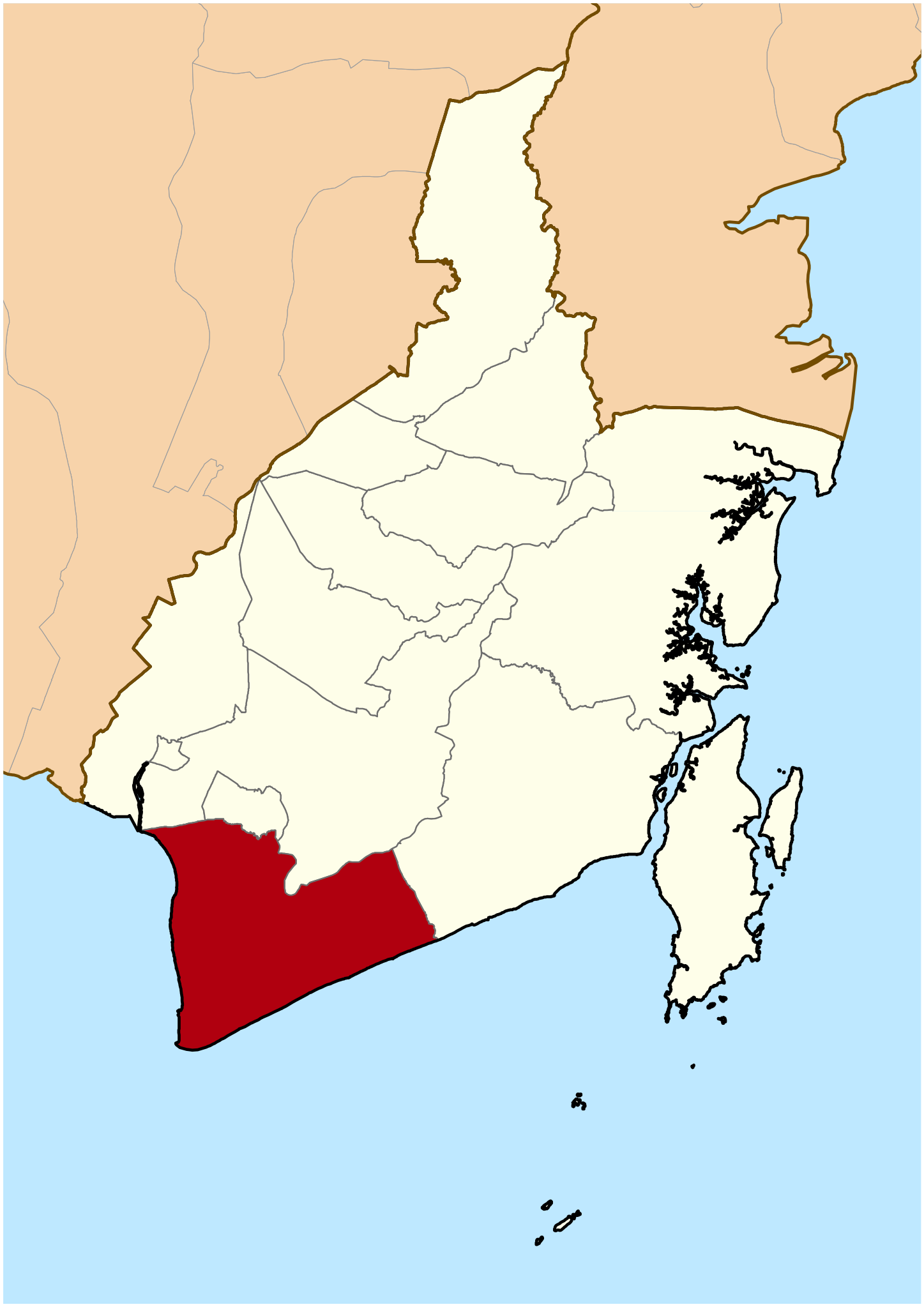
Bahasa Indonesia: Lokasi Kabupaten Tanah Laut di Provinsi Kalimantan Selatan |
| Date | 25 March 2010 (original upload date) |
| Source | Transferred from id.wikipedia to Commons by Jack Merridew using CommonsHelper. |
| Author | Ewesewes at Indonesian Wikipedia |
Licensing
edit
Ewesewes at Indonesian Wikipedia, the copyright holder of this work, hereby publishes it under the following license:
This file is licensed under the Creative Commons Attribution-Share Alike 3.0 Unported license.
Attribution: Ewesewes at Indonesian Wikipedia
- You are free:
- to share – to copy, distribute and transmit the work
- to remix – to adapt the work
- Under the following conditions:
- attribution – You must give appropriate credit, provide a link to the license, and indicate if changes were made. You may do so in any reasonable manner, but not in any way that suggests the licensor endorses you or your use.
- share alike – If you remix, transform, or build upon the material, you must distribute your contributions under the same or compatible license as the original.
Original upload log
edit
The original description page was here. All following user names refer to id.wikipedia.
- 2010-03-26 20:08 Ewesewes 3549×2365× (73021 bytes) menggeser agak ke selatan sedikit supaya imbang
- 2010-03-25 01:04 Ewesewes 3549×2367× (72998 bytes) Lokasi Kabupaten Tanah Laut di Provinsi Kalimantan Selatan
File history
Click on a date/time to view the file as it appeared at that time.
| Date/Time | Thumbnail | Dimensions | User | Comment | |
|---|---|---|---|---|---|
| current | 17:55, 1 March 2018 | | 744 × 1,053 (1.54 MB) | Nasrie (talk | contribs) | Crop, rotate, zoom agar lebih jelas |
| 04:49, 25 February 2011 |  | 3,549 × 2,365 (71 KB) | File Upload Bot (Magnus Manske) (talk | contribs) | {{BotMoveToCommons|id.wikipedia|year={{subst:CURRENTYEAR}}|month={{subst:CURRENTMONTHNAME}}|day={{subst:CURRENTDAY}}}} {{Information |Description={{id|Lokasi Kabupaten Tanah Laut di Provinsi Kalimantan Selatan == Jenis lisensi == [[:id:Kategori:Peta pen |
You cannot overwrite this file.
File usage on Commons
The following page uses this file:
File usage on other wikis
The following other wikis use this file:
- Usage on ban.wikipedia.org
- Usage on bjn.wikipedia.org
- Usage on de.wikipedia.org
- Usage on en.wikipedia.org
- Usage on gor.wikipedia.org
- Usage on id.wikipedia.org
- Daftar kabupaten dan kota di Indonesia
- Kalimantan Selatan
- Daftar kabupaten dan kota di Kalimantan Selatan
- Distrik Pleihari
- Distrik Maluka
- Distrik Satui
- Pengguna:Ewesewes/Bengkel Peta/Kalimantan Selatan
- Daftar kabupaten dan kota di Indonesia menurut waktu pembentukan
- Distrik Tabanio
- Daftar kecamatan dan kelurahan di Kabupaten Tanah Laut
- Liga 3 2021 Kalimantan Selatan
- Liga 3 2022 Kalimantan Selatan
- Story:Tanah Laut
- Daftar kabupaten dan kota di Kalimantan Selatan berdasarkan waktu pembentukan
- Pemilihan umum Bupati Tanah Laut 2024
- Usage on it.wikipedia.org
- Usage on jv.wikipedia.org
- Usage on min.wikipedia.org
- Usage on nl.wikipedia.org
- Usage on pl.wikipedia.org
- Usage on www.wikidata.org
- Usage on zh-min-nan.wikipedia.org
- Usage on zh.wikipedia.org