File:Looney Mill Creek Site.jpg

Size of this preview: 800 × 532 pixels. Other resolutions: 320 × 213 pixels | 640 × 426 pixels | 1,024 × 681 pixels | 1,280 × 851 pixels | 2,560 × 1,702 pixels | 6,016 × 4,000 pixels.
Original file (6,016 × 4,000 pixels, file size: 6.45 MB, MIME type: image/jpeg)
Captions
Captions
Add a one-line explanation of what this file represents
| Description |
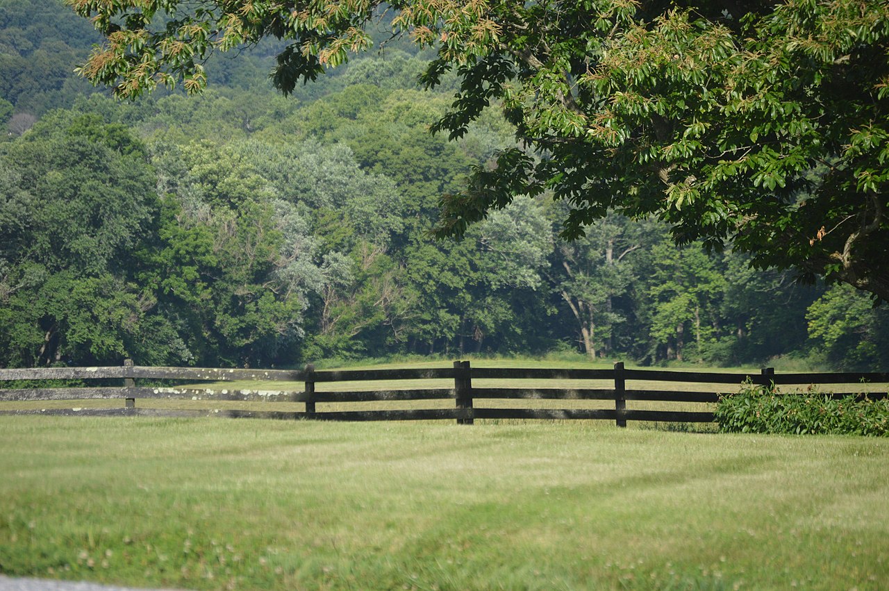
English: Fields on the right bank of the James River, immediately above the Looney Mill Creek confluence and just southwest of Buchanan, in Botetourt County, Virginia, United States. The distant field is known as the Looney Mill Creek Site; as a major archaeological site, it is listed on the National Register of Historic Places. Photo looks east from Mount Joy Road.
|
||
| Date | Taken on 10 June 2017 | ||
| Source | Own work | ||
| Author | Nyttend | ||
| Permission (Reusing this file) |
|
| Camera location | | View this and other nearby images on: OpenStreetMap |
|---|
File history
Click on a date/time to view the file as it appeared at that time.
| Date/Time | Thumbnail | Dimensions | User | Comment | |
|---|---|---|---|---|---|
| current | 05:04, 25 June 2017 | | 6,016 × 4,000 (6.45 MB) | Nyttend (talk | contribs) | {{NRHP|78003007}} {{Location|37|31|9|N|79|42|40|W}} {{Information |Description={{en|Fields on the right bank of the James River, immediately above the Looney Mill Creek confluence and just southwest of {{w|Buchanan, Virginia|Buchanan}}, in {{w|Botetour... |
You cannot overwrite this file.
File usage on Commons
There are no pages that use this file.
File usage on other wikis
The following other wikis use this file:
- Usage on en.wikipedia.org
- Usage on www.wikidata.org