File:Lynn-camp-prong-falls-tenn.jpg
Size of this preview: 800 × 556 pixels. Other resolutions: 320 × 222 pixels | 640 × 445 pixels | 1,024 × 711 pixels | 1,280 × 889 pixels | 2,041 × 1,418 pixels.
Original file (2,041 × 1,418 pixels, file size: 1.04 MB, MIME type: image/jpeg)
Captions
Captions
Add a one-line explanation of what this file represents
Summary
edit
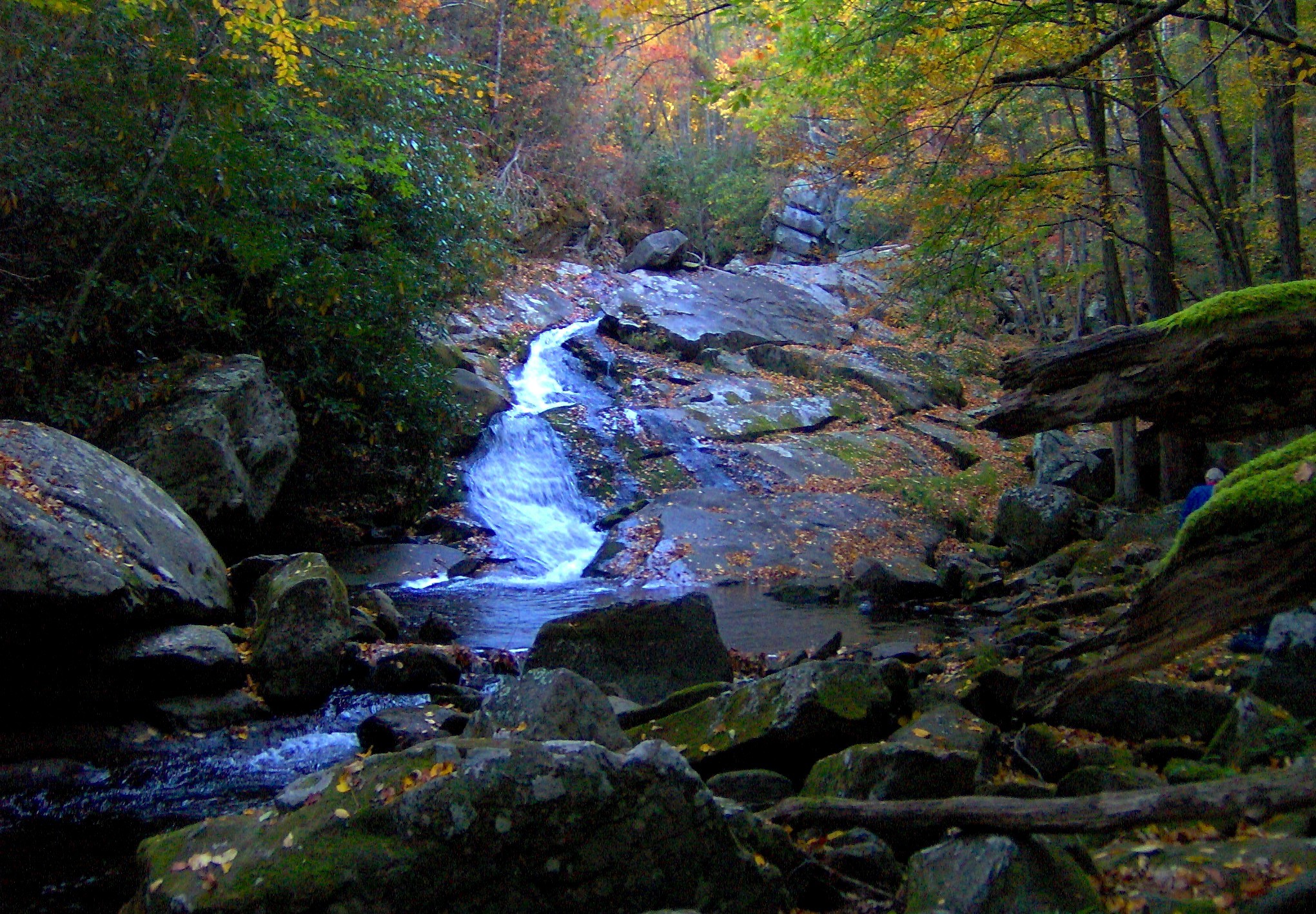
| Description | A small waterfall along Lynn Camp Prong in the Great Smoky Mountains of East Tennessee. Lynn Camp Prong drains the upper eastern half of the Tremont area and is part of the Little River watershed. |
| Date | |
| Source | Own work |
| Author | Brian Stansberry |
Licensing
edit
I, the copyright holder of this work, hereby publish it under the following licenses:

|
Permission is granted to copy, distribute and/or modify this document under the terms of the GNU Free Documentation License, Version 1.2 or any later version published by the Free Software Foundation; with no Invariant Sections, no Front-Cover Texts, and no Back-Cover Texts. A copy of the license is included in the section entitled GNU Free Documentation License. |
This file is licensed under the Creative Commons Attribution 3.0 Unported license.
- You are free:
- to share – to copy, distribute and transmit the work
- to remix – to adapt the work
- Under the following conditions:
- attribution – You must give appropriate credit, provide a link to the license, and indicate if changes were made. You may do so in any reasonable manner, but not in any way that suggests the licensor endorses you or your use.
You may select the license of your choice.
File history
Click on a date/time to view the file as it appeared at that time.
| Date/Time | Thumbnail | Dimensions | User | Comment | |
|---|---|---|---|---|---|
| current | 20:12, 8 July 2010 | | 2,041 × 1,418 (1.04 MB) | BrineStans (talk | contribs) | sharpening |
| 22:21, 5 November 2007 |  | 2,041 × 1,529 (1.09 MB) | BrineStans (talk | contribs) | {{Information |Description=A small waterfall along Lynn Camp Prong in the Great Smoky Mountains of East Tennessee. Lynn Camp Prong drains the upper eastern half of the Tremont area and is part of the Little River watershed. |Source=self-made |Date=10/22/ |
You cannot overwrite this file.
File usage on Commons
The following page uses this file:
File usage on other wikis
The following other wikis use this file:
- Usage on en.wikipedia.org