File:M37 Turkmenistan-en.png
Size of this preview: 800 × 524 pixels. Other resolutions: 320 × 209 pixels | 640 × 419 pixels | 1,024 × 670 pixels | 1,500 × 982 pixels.
Original file (1,500 × 982 pixels, file size: 308 KB, MIME type: image/png)
Captions
Captions
Add a one-line explanation of what this file represents
Summary edit
| Description |
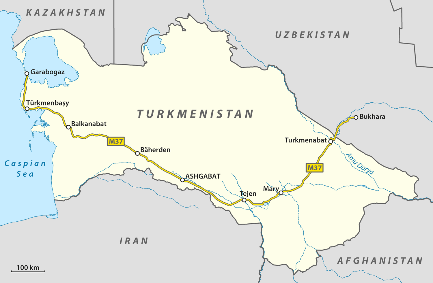
Deutsch: Karte der M37 in Turkmenistan
English: Map of the M37 highway in Turkmenistan |
| Date | |
| Source | Own work |
| Author | NordNordWest |
| Permission (Reusing this file) |
I, the copyright holder of this work, hereby publish it under the following license: This file is licensed under the Creative Commons Attribution-Share Alike 3.0 Unported license.
|

|
This map has been made or improved in the German Kartenwerkstatt (Map Lab). You can propose maps to improve as well.
|
File history
Click on a date/time to view the file as it appeared at that time.
| Date/Time | Thumbnail | Dimensions | User | Comment | |
|---|---|---|---|---|---|
| current | 16:57, 1 November 2009 | | 1,500 × 982 (308 KB) | NordNordWest (talk | contribs) | {{int:filedesc}} {{Information |Description= {{de|Karte der M37 in Turkmenistan xx}} {{en|Map of the M37 highway in Turkmenistan}} |Source={{Own}} |Date=2009-11-01 |Author={{U|NordNordWest}} |Permission={{self|cc-by-sa-3.0 |
You cannot overwrite this file.
File usage on Commons
The following page uses this file:
File usage on other wikis
The following other wikis use this file:
- Usage on en.wikipedia.org
- Usage on fr.wikipedia.org
- Usage on ru.wikipedia.org
- Usage on tr.wikipedia.org
- Usage on www.wikidata.org
- Usage on zh.wikipedia.org