File:MTR WIL (6).JPG

Size of this preview: 800 × 532 pixels. Other resolutions: 320 × 213 pixels | 640 × 426 pixels | 1,024 × 681 pixels | 1,280 × 852 pixels | 2,560 × 1,704 pixels | 4,592 × 3,056 pixels.
Original file (4,592 × 3,056 pixels, file size: 5.28 MB, MIME type: image/jpeg)
Captions
Captions
Add a one-line explanation of what this file represents
Summary edit
.JPG&action=edit§ion=1)
| Description |
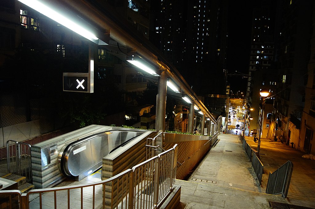
English: Sands Street Pedestrian Link by West Island Line Project |
| Date | |
| Source | Own work |
| Author | Hokachung |
| Camera location | | View this and other nearby images on: OpenStreetMap |
|---|
.JPG¶ms=022.282181_N_0114.131133_E_globe:Earth_type:camera__&language=en)
Licensing edit
.JPG&action=edit§ion=2)
I, the copyright holder of this work, hereby publish it under the following license:
This file is licensed under the Creative Commons Attribution 3.0 Unported license.
- You are free:
- to share – to copy, distribute and transmit the work
- to remix – to adapt the work
- Under the following conditions:
- attribution – You must give appropriate credit, provide a link to the license, and indicate if changes were made. You may do so in any reasonable manner, but not in any way that suggests the licensor endorses you or your use.
File history
Click on a date/time to view the file as it appeared at that time.
| Date/Time | Thumbnail | Dimensions | User | Comment | |
|---|---|---|---|---|---|
| current | 02:16, 7 January 2015 | | 4,592 × 3,056 (5.28 MB) | Hokachung (talk | contribs) | {{Information |Description ={{zh|1=由西港島綫工程興建的山市街行人連接系統}} {{en|1=Sands Street Pedestrian Link by West Island Line Project}} |Sourc... |
You cannot overwrite this file.
File usage on Commons
The following 2 pages use this file:
File usage on other wikis
The following other wikis use this file:
- Usage on zh.wikipedia.org
.JPG&oldid=552599095)