File:M central serbia03.jpg

Size of this preview: 578 × 600 pixels. Other resolutions: 231 × 240 pixels | 463 × 480 pixels | 850 × 882 pixels.
Original file (850 × 882 pixels, file size: 97 KB, MIME type: image/jpeg)
Captions
Captions
Add a one-line explanation of what this file represents
Summary edit
| Description |
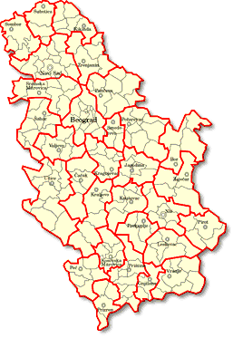
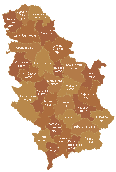
English: Map of districts in Central Serbia - Serbian language Latin script version. Српски / srpski: Мапа округа Централне Србије - латинична верзија на српском језику. |
| Date | 10 March 2005 (original upload date) |
| Source | Transferred from sr.wikipedia to Commons by Micki using CommonsHelper. |
| Author | Original uploader and author was PANONIAN at sr.wikipedia |
Licensing edit
self-made map by user:PANONIAN
| |
This work has been released into the public domain by its author, PANONIAN, at the English Wikipedia project. This applies worldwide. In case this is not legally possible: |
References edit
- Denis Šehić - Demir Šehić, Geografski atlas Srbije, Beograd, 2007.
- Geografski atlas, Magic Map, Smederevska Palanka, 2001.
- Geografski atlas, Intersistem Kartografija, Beograd, 2004.
- http://www.infobih.com/slike/201009031054350.Srbija_okruzi3.PNG
- http://static.politika.co.rs/uploads/rubrike/141057/i/1/e07b01-radna-mesta-po-okruzima.gif[dead link]
- http://www.sandzaknews.com/slike/vijest-2681.jpg archive copy at the Wayback Machine
- http://www.arhiva.srbija.gov.rs/g/images/srbija.gif
- http://www.komisija1944.mpravde.gov.rs/imgs/mapa-srbije.png
Original upload log edit
The original description page was here. All following user names refer to sr.wikipedia.
- 2005-08-08 12:33 PANONIAN 700×722× (149325 bytes) мапа Централне Србије
- 2005-04-11 17:01 PANONIAN 700×722× (148723 bytes)
- 2005-03-10 12:42 PANONIAN 700×722× (155091 bytes) мапа округа Централне Србије
File history
Click on a date/time to view the file as it appeared at that time.
| Date/Time | Thumbnail | Dimensions | User | Comment | |
|---|---|---|---|---|---|
| current | 11:50, 22 January 2011 | | 850 × 882 (97 KB) | PANONIAN (talk | contribs) | improved version |
| 16:36, 15 June 2010 |  | 700 × 722 (146 KB) | File Upload Bot (Magnus Manske) (talk | contribs) | {{BotMoveToCommons|sr.wikipedia|year={{subst:CURRENTYEAR}}|month={{subst:CURRENTMONTHNAME}}|day={{subst:CURRENTDAY}}}} {{Information |Description={{sr|мапа округа Централне Србије {{јв-ја}} [[:sr:Категорија:Мапе |
You cannot overwrite this file.
File usage on Commons
There are no pages that use this file.