File:Maasbrug Maastricht - panoramio (cropped).jpg

Size of this preview: 800 × 440 pixels. Other resolutions: 320 × 176 pixels | 640 × 352 pixels | 1,024 × 563 pixels | 1,280 × 704 pixels | 2,586 × 1,422 pixels.
Original file (2,586 × 1,422 pixels, file size: 545 KB, MIME type: image/jpeg)
Captions
Captions
Add a one-line explanation of what this file represents
Summary edit
.jpg&action=edit§ion=1)
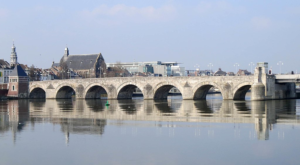
| Description | Maasbrug Maastricht |
| Date | Taken on 13 February 2013 |
| Source | https://www.panoramio.com/photo/86052618 |
| Author | Geert Budenaerts |
| Permission (Reusing this file) |
This file is licensed under the Creative Commons Attribution 3.0 Unported license. Attribution: Geert Budenaerts
|
| Other versions | |
| Tags (from Panoramio photo page) | Maastricht, 2013, Landschap, landschap, Limburg, Maastricht, Nederland |
| Camera location | | View this and other nearby images on: OpenStreetMap |
|---|
.jpg¶ms=050.847145_N_0005.698258_E_globe:Earth_type:camera_source:Panoramio_&language=en)
File history
Click on a date/time to view the file as it appeared at that time.
| Date/Time | Thumbnail | Dimensions | User | Comment | |
|---|---|---|---|---|---|
| current | 20:57, 31 January 2019 | | 2,586 × 1,422 (545 KB) | Kleon3 (talk | contribs) | File:Maasbrug Maastricht - panoramio.jpg cropped 34 % horizontally, 9 % vertically using CropTool with precise mode. |
You cannot overwrite this file.
File usage on Commons
The following 2 pages use this file:
File usage on other wikis
The following other wikis use this file:
- Usage on nl.wikipedia.org
.jpg&oldid=478077182)