File:Maastricht, plattegrond 1914 (crop3).jpg
No higher resolution available.
Maastricht,_plattegrond_1914_(crop3).jpg (794 × 479 pixels, file size: 172 KB, MIME type: image/jpeg)
Captions
Captions
Add a one-line explanation of what this file represents
Summary edit
| Description |
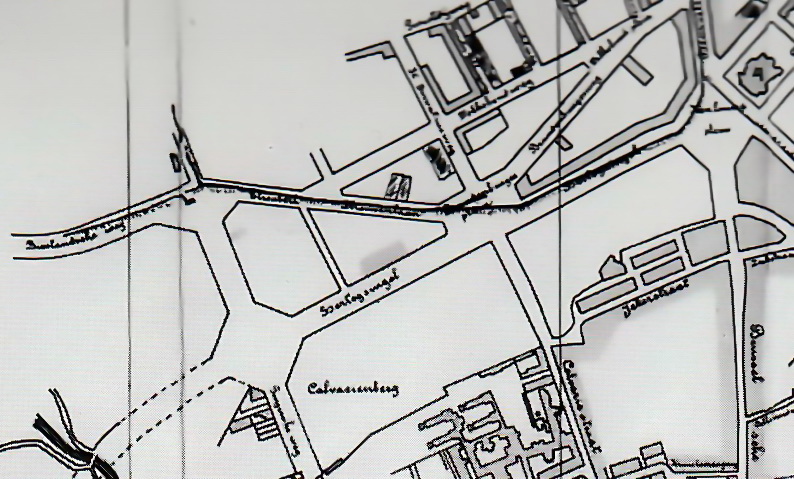
Nederlands: Detail van een plattegrond van Maastricht in 1914 met de omgeving Tongerseplein, Hertogsingel, Koningin Emmaplein. Collectie Gemeentearchief Maastricht. |
| Date | |
| Source | M. Martin (2000): Opkomst van de moderne stad. Ruimtelijke veranderingen in Maastricht 1660-1905, page 236. Waanders Uitgevers, Zwolle. Rijksdienst voor de Monumentenzorg, Zeist. ISBN 90-400-9323-7 |
| Author | Unknown cartographer (Gemeente Maastricht) |
| Other versions |

.jpg&action=edit§ion=1)
Licensing edit
.jpg&action=edit§ion=2)
|
This work is in the public domain in its country of origin and other countries and areas where the copyright term is the author's life plus 100 years or fewer. | |
| This file has been identified as being free of known restrictions under copyright law, including all related and neighboring rights. | |
File history
Click on a date/time to view the file as it appeared at that time.
| Date/Time | Thumbnail | Dimensions | User | Comment | |
|---|---|---|---|---|---|
| current | 08:38, 26 May 2019 | | 794 × 479 (172 KB) | Kleon3 (talk | contribs) | contrast added, noise removed |
| 08:31, 26 May 2019 |  | 794 × 479 (189 KB) | Kleon3 (talk | contribs) | File:Maastricht, plattegrond 1914.jpg cropped 62 % horizontally, 83 % vertically using CropTool with precise mode. |
You cannot overwrite this file.
File usage on Commons
The following page uses this file:
File usage on other wikis
The following other wikis use this file:
- Usage on nl.wikipedia.org
.jpg&oldid=552128776)