File:Makovskoye Lake.jpg
Size of this preview: 800 × 476 pixels. Other resolutions: 320 × 190 pixels | 640 × 381 pixels | 1,278 × 760 pixels.
Original file (1,278 × 760 pixels, file size: 153 KB, MIME type: image/jpeg)
Captions
Captions
Add a one-line explanation of what this file represents
| Description |
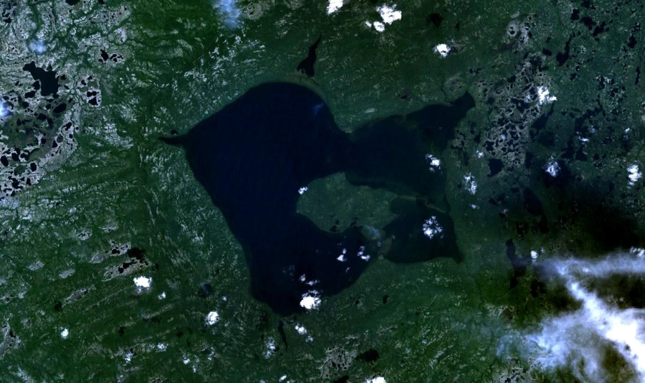
English: Satellite image of Makovskoye lake (Krasnoyarsk krai, Russia) Deutsch: Satellitenbild des Makowskoje-Sees (Region Krasnojarsk, Russland) Русский: Спутниковый снимок Маковского озера (Красноярский край, Россия) |
| Date | November 22, 2008 (date of capture) |
| Source | NASA World Wind |
| Author | NASA/Landsat |
| This image is in the public domain because it is a screenshot from NASA’s globe software World Wind using a public domain layer, such as Blue Marble, MODIS, Landsat, SRTM, USGS or GLOBE.
|
 |
File history
Click on a date/time to view the file as it appeared at that time.
| Date/Time | Thumbnail | Dimensions | User | Comment | |
|---|---|---|---|---|---|
| current | 07:33, 23 November 2008 | | 1,278 × 760 (153 KB) | SibFreak (talk | contribs) | {{Information |Description={{en|1=Satellite image of Makovskoye lake (Krasnoyarsk krai, Russia)}}{{de|1=Satellitenbild des Makowskoje-Sees (Region Krasnojarsk, Russland)}}{{ru|1=Спутниковый снимок оз. Маковского (Красно� |
You cannot overwrite this file.
File usage on Commons
There are no pages that use this file.
File usage on other wikis
The following other wikis use this file:
- Usage on de.wikipedia.org