File:Mali Flag-Map.png
Size of this preview: 634 × 599 pixels. Other resolutions: 254 × 240 pixels | 508 × 480 pixels | 813 × 768 pixels | 1,084 × 1,024 pixels | 2,167 × 2,048 pixels | 2,913 × 2,753 pixels.
Original file (2,913 × 2,753 pixels, file size: 243 KB, MIME type: image/png)
Captions
Captions
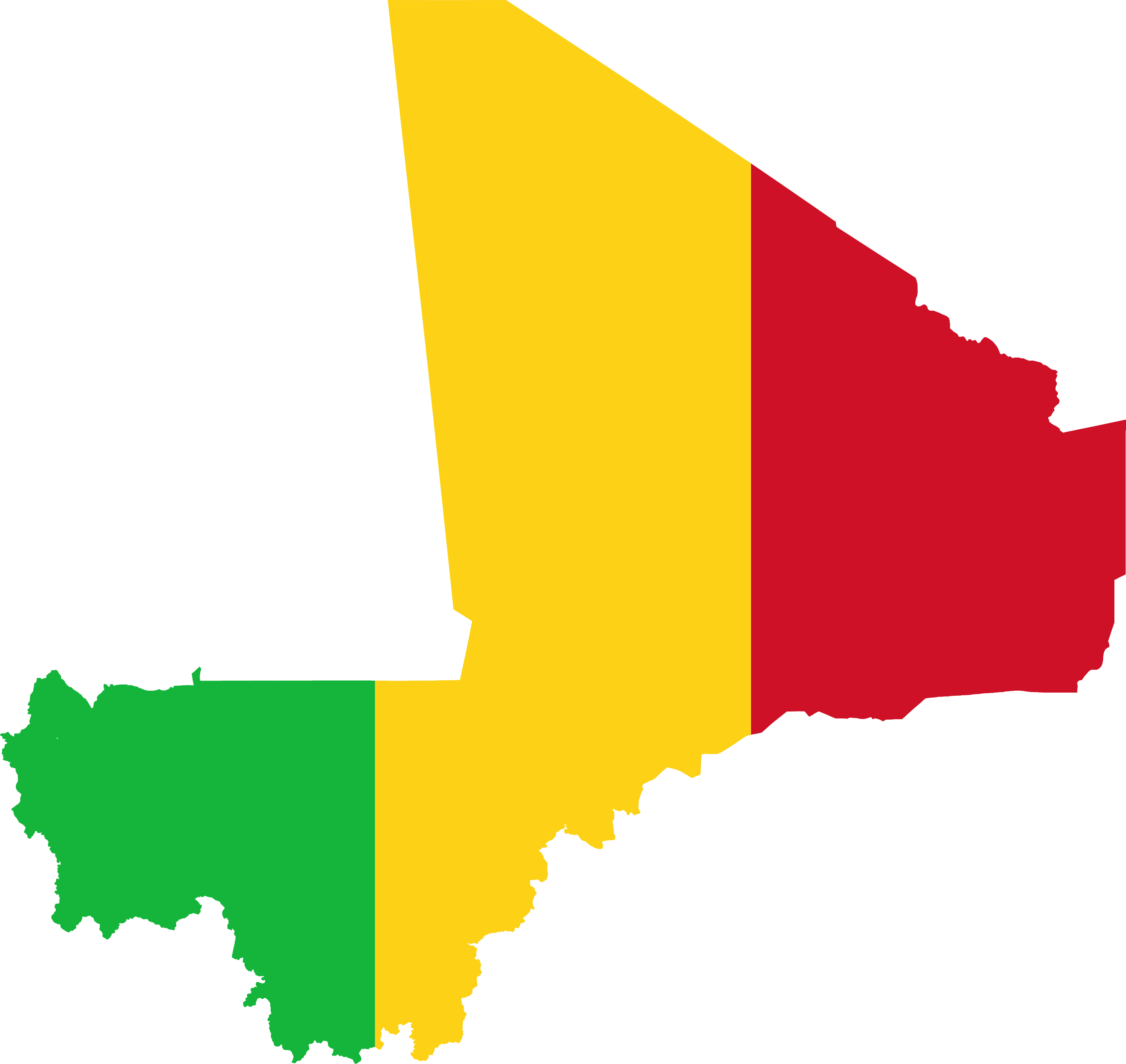
Flag map of Mali with Azawadian Disputed Territory.
Summary edit
| Description |
English: Flag map of Mali with Azawadian Disputed Territory. |
| Date | |
| Source | Own work |
| Author | FunafutiTuvalu |
Licensing edit
I, the copyright holder of this work, hereby publish it under the following license:
This file is licensed under the Creative Commons Attribution-Share Alike 4.0 International license.
- You are free:
- to share – to copy, distribute and transmit the work
- to remix – to adapt the work
- Under the following conditions:
- attribution – You must give appropriate credit, provide a link to the license, and indicate if changes were made. You may do so in any reasonable manner, but not in any way that suggests the licensor endorses you or your use.
- share alike – If you remix, transform, or build upon the material, you must distribute your contributions under the same or compatible license as the original.
File history
Click on a date/time to view the file as it appeared at that time.
| Date/Time | Thumbnail | Dimensions | User | Comment | |
|---|---|---|---|---|---|
| current | 11:11, 3 December 2023 | | 2,913 × 2,753 (243 KB) | Skitash (talk | contribs) | Reverted to version as of 08:26, 13 April 2023 (UTC) sockpuppet |
| 00:22, 5 August 2023 |  | 2,167 × 2,048 (53 KB) | Taki2006 (talk | contribs) | . | |
| 08:26, 13 April 2023 |  | 2,913 × 2,753 (243 KB) | FunafutiTuvalu (talk | contribs) | Uploaded own work with UploadWizard |
You cannot overwrite this file.
File usage on Commons
There are no pages that use this file.