File:Mali Mauritania relations (orthographic projection).svg

Size of this PNG preview of this SVG file: 553 × 553 pixels. Other resolutions: 240 × 240 pixels | 480 × 480 pixels | 768 × 768 pixels | 1,024 × 1,024 pixels | 2,048 × 2,048 pixels.
Original file (SVG file, nominally 553 × 553 pixels, file size: 249 KB)
Captions
Captions
Add a one-line explanation of what this file represents
Summary edit
.svg&action=edit§ion=1)
| Description |
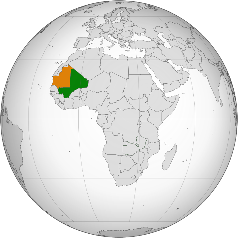
English: A map of the location of Mali, shown in green, and Mauritania shown in orange.
Mali
Mauritania |
| Date | |
| Source | File:Zambia (orthographic projection).svg by Marcos Elias de Oliveira Júnior. |
| Author | P. S. Burton |
.svg)
Licensing edit
.svg&action=edit§ion=2)
| I, the copyright holder of this work, release this work into the public domain. This applies worldwide. In some countries this may not be legally possible; if so: I grant anyone the right to use this work for any purpose, without any conditions, unless such conditions are required by law. |
File history
Click on a date/time to view the file as it appeared at that time.
| Date/Time | Thumbnail | Dimensions | User | Comment | |
|---|---|---|---|---|---|
| current | 18:27, 20 August 2014 | | 553 × 553 (249 KB) | P. S. Burton (talk | contribs) | == {{int:filedesc}} == {{Information |Description={{en|A map of the location of Mali, shown in green, and Mauritania shown in orange.}} {{legend|#3c9d3c|Mali}} {{legend|#e3801c|Mauritania}} |Source=File:Zambia (orthographic projection).svg by [[:U... |
You cannot overwrite this file.
File usage on Commons
The following page uses this file:
File usage on other wikis
The following other wikis use this file:
- Usage on ar.wikipedia.org
- Usage on en.wikipedia.org
- Usage on pl.wikipedia.org
- Dyskusja:Mali
- Dyskusja:Geografia Mali
- Wikiprojekt:Tygodnie tematyczne/Tydzień Artykułu Malijsko-Mauretańskiego
- Dyskusja:Noureddine Ould Ménira
- Dyskusja:Oued Seguellîl
- Dyskusja:Lista portów lotniczych w Mauretanii
- Dyskusja:Mati Mint Hamady
- Dyskusja:Ben Amera
- Dyskusja:Tifoujar
- Dyskusja:Youma Diakite
- Dyskusja:Tindirma
- Dyskusja:Bakoye
- Dyskusja:Sidi Touré
- Dyskusja:Kassé Mady Diabaté
- Dyskusja:L’Malouma Said
- Dyskusja:Biblioteka Narodowa Mauretanii
- Dyskusja:Muzeum Narodowe w Nawakszucie
- Dyskusja:Koraliki Kiffa
- Dyskusja:Oumar Bagayoko
- Dyskusja:Moctar Cissé
- Dyskusja:Latarnia morska Ras Nawazibu
- Dyskusja:Issa Bagayogo
- Dyskusja:Soungalo Coulibaly
- Dyskusja:Baba Sissoko
- Dyskusja:Samba Adama
- Dyskusja:Amarantka skalna
- Dyskusja:Hamadi Camara
- Dyskusja:Ousmane Camara
- Dyskusja:Mamadou Coulibaly (judoka)
- Dyskusja:Raymond Coulibaly
- Dyskusja:Abdul Kader Dabo
- Dyskusja:Mamadou Diallo (zapaśnik)
- Dyskusja:Paul Diop
- Dyskusja:Oumar Kone
- Dyskusja:Bourama Mariko
- Dyskusja:Salem Ould Habib
- Dyskusja:Park Narodowy Diawling
- Dyskusja:Babacar Sar
- Dyskusja:Habib Sissoko
- Dyskusja:Oumar Samba Sy
- Dyskusja:Abdoulaye Thera
- Dyskusja:Ayouba Traoré
- Dyskusja:Żołna modrolica
- Usage on ru.wikipedia.org
- Usage on www.wikidata.org
.svg&oldid=451271264)