File:Mandatory Palestine Administrative Map Hebrew corrected.png
Size of this preview: 322 × 599 pixels. Other resolutions: 129 × 240 pixels | 613 × 1,140 pixels.
Original file (613 × 1,140 pixels, file size: 82 KB, MIME type: image/png)
Captions
Captions
Add a one-line explanation of what this file represents
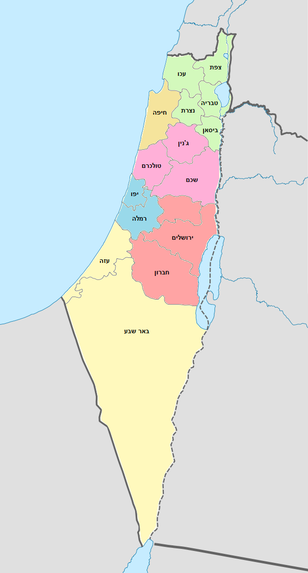
Fixed a mistake in the district coloring.

|
Permission is granted to copy, distribute and/or modify this document under the terms of the GNU Free Documentation License, Version 1.2 or any later version published by the Free Software Foundation; with no Invariant Sections, no Front-Cover Texts, and no Back-Cover Texts. A copy of the license is included in the section entitled GNU Free Documentation License. |
File history
Click on a date/time to view the file as it appeared at that time.
| Date/Time | Thumbnail | Dimensions | User | Comment | |
|---|---|---|---|---|---|
| current | 13:53, 13 April 2010 | | 613 × 1,140 (82 KB) | Shy halatzi (talk | contribs) | Fixed a mistake in the district coloring. {{GFDL}} |
You cannot overwrite this file.
File usage on Commons
The following page uses this file:
File usage on other wikis
The following other wikis use this file:
- Usage on he.wikipedia.org