File:Manila-transportation-map.pdf

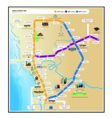
Size of this JPG preview of this PDF file: 573 × 600 pixels. Other resolutions: 229 × 240 pixels | 458 × 480 pixels | 733 × 768 pixels | 1,275 × 1,335 pixels.

Original file (1,275 × 1,335 pixels, file size: 65.16 MB, MIME type: application/pdf, 2 pages)
Captions
Captions
Add a one-line explanation of what this file represents

|
This file has been superseded by Manila-transportation-map.png. It is recommended to use the other file. Please note that deleting superseded images requires consent. Reason to use the other file: "A PNG version of this file is now available."
|

|
Summary edit
| Description |
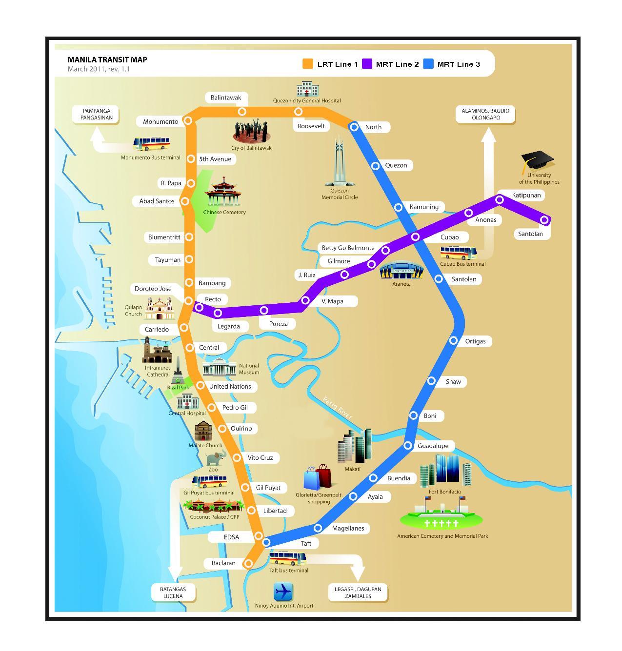
English: Transportation map of Manila metro lines including icons of popular tourist destinations (such as Rizal Park, Intramuros or Ortigas). Suitable for printouts. |
| Date | |
| Source | Own work |
| Author | Janissimo |
Licensing edit
I, the copyright holder of this work, hereby publish it under the following licenses:
This file is licensed under the Creative Commons Attribution-Share Alike 3.0 Unported license.
- You are free:
- to share – to copy, distribute and transmit the work
- to remix – to adapt the work
- Under the following conditions:
- attribution – You must give appropriate credit, provide a link to the license, and indicate if changes were made. You may do so in any reasonable manner, but not in any way that suggests the licensor endorses you or your use.
- share alike – If you remix, transform, or build upon the material, you must distribute your contributions under the same or compatible license as the original.

|
Permission is granted to copy, distribute and/or modify this document under the terms of the GNU Free Documentation License, Version 1.2 or any later version published by the Free Software Foundation; with no Invariant Sections, no Front-Cover Texts, and no Back-Cover Texts. A copy of the license is included in the section entitled GNU Free Documentation License. |
You may select the license of your choice.
File history
Click on a date/time to view the file as it appeared at that time.
| Date/Time | Thumbnail | Dimensions | User | Comment | |
|---|---|---|---|---|---|
| current | 15:02, 14 January 2014 |  | 1,275 × 1,335, 2 pages (65.16 MB) | PhilippineRevolution (talk | contribs) | Fixes and updates |
| 17:31, 20 March 2011 | No thumbnail | 0 × 0 (1.23 MB) | Janissimo (talk | contribs) | Updated revision 1.1. Added stations Balintawak and Roosevelt which now inter-connect LRT1 and MRT lines in Manila. | |
| 20:16, 15 March 2010 | No thumbnail | 0 × 0 (606 KB) | Janissimo (talk | contribs) | {{Information |Description={{en|1=Transportation map of Manila (LRT,MRT lines) including icons of popular tourist destinations (such as Rizal Park, Intramuros or Ortigas). Suitable for printouts.}} |Source=Own work |Author=Janissimo |Da |
You cannot overwrite this file.
File usage on Commons
There are no pages that use this file.