File:Manistee County Michigan Incorporated and Unincorporated areas Manistee Highlighted.svg

Size of this PNG preview of this SVG file: 800 × 550 pixels. Other resolutions: 320 × 220 pixels | 640 × 440 pixels | 1,024 × 704 pixels | 1,280 × 880 pixels | 2,560 × 1,760 pixels.
Original file (SVG file, nominally 800 × 550 pixels, file size: 92 KB)
Captions
Captions
Add a one-line explanation of what this file represents
| Description |
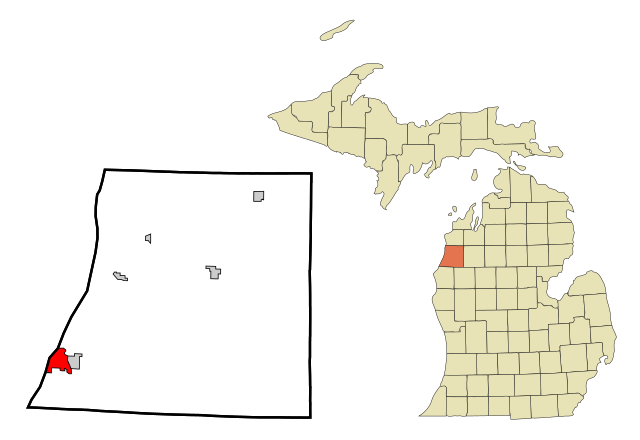
Locator map of Manistee (in red), the Manistee County seat.
|
||||||||
| Date | |||||||||
| Source | My own work, based on public domain information. Based on similar map concepts by Ixnayonthetimmay | ||||||||
| Author | Arkyan | ||||||||
| Permission (Reusing this file) |
I, the copyright holder of this work, hereby publish it under the following licenses:
This file is licensed under the Creative Commons Attribution-Share Alike 2.5 Generic, 2.0 Generic and 1.0 Generic license.
You may select the license of your choice. |

File history
Click on a date/time to view the file as it appeared at that time.
| Date/Time | Thumbnail | Dimensions | User | Comment | |
|---|---|---|---|---|---|
| current | 19:07, 16 October 2007 | | 800 × 550 (92 KB) | ArkyBot~commonswiki (talk | contribs) | {{Information |Description=This map shows the incorporated and unincorporated areas in Manistee County, Michigan, highlighting Manistee in red. It was c |
You cannot overwrite this file.
File usage on Commons
The following page uses this file:
File usage on other wikis
The following other wikis use this file:
- Usage on ar.wikipedia.org
- Usage on arz.wikipedia.org
- Usage on azb.wikipedia.org
- Usage on cy.wikipedia.org
- Usage on en.wikipedia.org
- Usage on eu.wikipedia.org
- Usage on fa.wikipedia.org
- Usage on fr.wikipedia.org
- Usage on fy.wikipedia.org
- Usage on hu.wikipedia.org
- Usage on it.wikipedia.org
- Usage on ro.wikipedia.org
- Usage on sh.wikipedia.org
- Usage on sr.wikipedia.org
- Usage on tt.wikipedia.org
- Usage on www.wikidata.org