File:Map Kan'onji,Kagawa en.png

Size of this preview: 800 × 593 pixels. Other resolutions: 320 × 237 pixels | 640 × 474 pixels | 1,024 × 759 pixels | 1,081 × 801 pixels.
Original file (1,081 × 801 pixels, file size: 42 KB, MIME type: image/png)
Captions
Captions
Add a one-line explanation of what this file represents
Summary edit
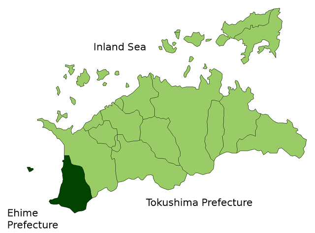
Map of Kagawa Prefecture highlighting Kan'onji city. Borders of map as of October, 2006. (blank map used from [1])
See also Image:KagawaMapCurrent.png
Licensing edit

|
Permission is granted to copy, distribute and/or modify this document under the terms of the GNU Free Documentation License, Version 1.2 or any later version published by the Free Software Foundation; with no Invariant Sections, no Front-Cover Texts, and no Back-Cover Texts. A copy of the license is included in the section entitled GNU Free Documentation License. |
| This file is licensed under the Creative Commons Attribution-Share Alike 3.0 Unported license. | ||
| ||
| This licensing tag was added to this file as part of the GFDL licensing update. |
File history
Click on a date/time to view the file as it appeared at that time.
| Date/Time | Thumbnail | Dimensions | User | Comment | |
|---|---|---|---|---|---|
| current | 13:19, 27 October 2006 | | 1,081 × 801 (42 KB) | Reggaeman (talk | contribs) | Map of Kagawa Prefecture highlighting Kan'onji city. Borders of map as of October, 2006. (blank map used from [http://aoki2.si.gunma-u.ac.jp/map/map.html]) See also Image:KagawaMapCurrent.png [ |
You cannot overwrite this file.
File usage on Commons
There are no pages that use this file.
File usage on other wikis
The following other wikis use this file: