File:Map Tokorozawa en.PNG
Size of this preview: 800 × 464 pixels. Other resolutions: 320 × 186 pixels | 640 × 371 pixels | 1,024 × 594 pixels | 1,381 × 801 pixels.
Original file (1,381 × 801 pixels, file size: 68 KB, MIME type: image/png)
Captions
Captions
Add a one-line explanation of what this file represents
Summary edit
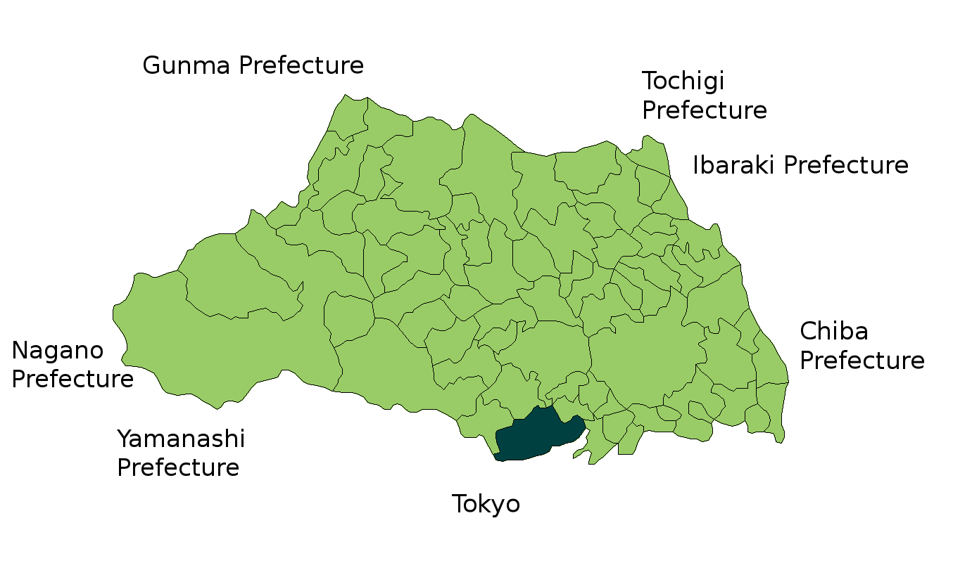
| Description | Map of en:Tokorozawa, Saitama, Japan. Modification of Image:SaitamaMapCurrent.png |
| Date | 8 February 2007 (original upload date) |
| Source | No machine-readable source provided. Own work assumed (based on copyright claims). |
| Author | No machine-readable author provided. Taichi assumed (based on copyright claims). |
Licensing edit
| I, the copyright holder of this work, release this work into the public domain. This applies worldwide. In some countries this may not be legally possible; if so: I grant anyone the right to use this work for any purpose, without any conditions, unless such conditions are required by law. |
File history
Click on a date/time to view the file as it appeared at that time.
| Date/Time | Thumbnail | Dimensions | User | Comment | |
|---|---|---|---|---|---|
| current | 18:52, 8 February 2007 | | 1,381 × 801 (68 KB) | Taichi (talk | contribs) | Map of en:Tokorozawa, Saitama, Japan. Modification of Image:SaitamaMapCurrent.png Category:Tokorozawa, Saitama |
You cannot overwrite this file.
File usage on Commons
There are no pages that use this file.