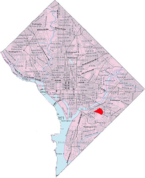
File:Map fort stanton.jpg
Original file(1,961 × 2,397 pixels, file size: 521 KB, MIME type: image/jpeg)

Captions

Captions

Add a one-line explanation of what this file represents

Summary edit

This image is a modified version of a self-generated reference map from the w:U.S. Census Bureau's American Factfinder at https://wayback.archive-it.org/all/20120120155852/http://factfinder2.census.gov/legacy/aff_sunset.html by Wikipedia user Msclguru.


Public domain
This image or file is a work of a United States Census Bureau employee, taken or made as part of that person's official duties. As a work of the U.S. federal government, the image is in the public domain.

English  español  日本語  македонски  മലയാളം  português do Brasil  русский  українська  +/−

Licensing edit

Public domain I, the copyright holder of this work, release this work into the public domain. This applies worldwide.
In some countries this may not be legally possible; if so:
I grant anyone the right to use this work for any purpose, without any conditions, unless such conditions are required by law.

File history

Click on a date/time to view the file as it appeared at that time.

Date/TimeThumbnailDimensionsUserComment
current14:45, 8 December 2006Thumbnail for version as of 14:45, 8 December 20061,961 × 2,397 (521 KB)Msclguru (talk | contribs)This image is a modified version of a self-generated reference map from the U.S. Census Bureau's American Factfinder at http://factfinder.census.gov/ by Wikipedia user Msclguru. {{PD-USGov}}

There are no pages that use this file.