File:Map houkesloot.png

Size of this preview: 800 × 505 pixels. Other resolutions: 320 × 202 pixels | 640 × 404 pixels | 1,024 × 647 pixels | 1,252 × 791 pixels.
Original file (1,252 × 791 pixels, file size: 1.4 MB, MIME type: image/png)
Captions
Captions
Add a one-line explanation of what this file represents
Summary edit
| Description |
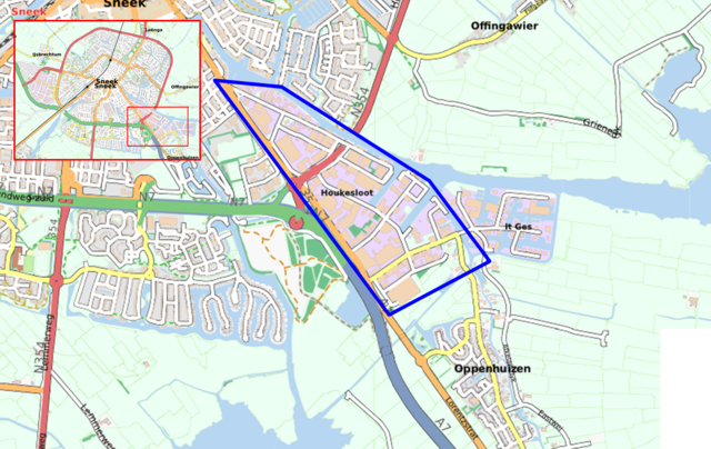
English: Own reproduction of OpenStreetMap. Houkesloot Sneek.
Nederlands: Reproductie met gebruik van kaartmateriaal van OpenStreetMap. Houkesloot in Sneek, bij benadering |
| Date | |
| Source | OpenStreetMap |
| Author | Eigen bewerking |
| Permission (Reusing this file) |
© OpenStreetMap contributors, CC-BY-SA |
Licensing edit
This file is licensed under the Creative Commons Attribution 3.0 Netherlands license.
- You are free:
- to share – to copy, distribute and transmit the work
- to remix – to adapt the work
- Under the following conditions:
- attribution – You must give appropriate credit, provide a link to the license, and indicate if changes were made. You may do so in any reasonable manner, but not in any way that suggests the licensor endorses you or your use.

File history
Click on a date/time to view the file as it appeared at that time.
| Date/Time | Thumbnail | Dimensions | User | Comment | |
|---|---|---|---|---|---|
| current | 17:59, 26 July 2011 | | 1,252 × 791 (1.4 MB) | Nlsven (talk | contribs) | == Summary == {{Information |Description ={{en|1=Own reproduction of [http://www.openstreetmap.org OpenStreetMap]. Houkesloot Sneek.}} {{nl|1=Reproductie met gebruik van kaartmateriaal van [http://www.openstreetmap.org OpenStreetMap]. Houkesloot in Sne |
You cannot overwrite this file.
File usage on Commons
There are no pages that use this file.
File usage on other wikis
The following other wikis use this file:
- Usage on fy.wikipedia.org
- Usage on nl.wikipedia.org