File:Map of Alaska highlighting Sitka City and Borough.svg

Size of this PNG preview of this SVG file: 800 × 423 pixels. Other resolutions: 320 × 169 pixels | 640 × 338 pixels | 1,024 × 541 pixels | 1,280 × 677 pixels | 2,560 × 1,353 pixels | 1,470 × 777 pixels.
Original file (SVG file, nominally 1,470 × 777 pixels, file size: 338 KB)
Captions
Captions
Add a one-line explanation of what this file represents
Summary edit
| Description |
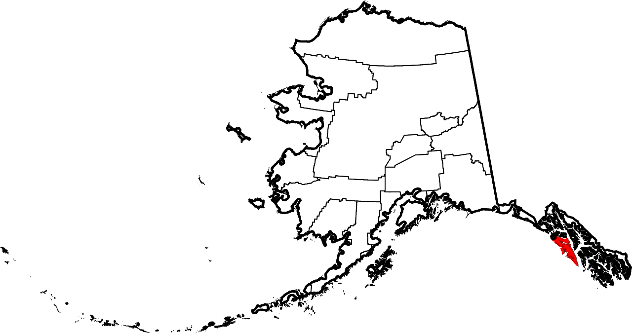
English: This is a locator map showing Sitka City and Borough in Alaska |
| Date | |
| Source |
Own work: English: The maps use data from nationalatlas.gov, specifically countyp020.tar.gz on the Raw Data Download page. The maps also use state outline data from statesp020.tar.gz. The Florida maps use hydrogm020.tar.gz to display Lake Okeechobee. |
| Author | David Benbennick |
| SVG development |
Licensing edit
| I, the copyright holder of this work, release this work into the public domain. This applies worldwide. In some countries this may not be legally possible; if so: I grant anyone the right to use this work for any purpose, without any conditions, unless such conditions are required by law. |
File history
Click on a date/time to view the file as it appeared at that time.
| Date/Time | Thumbnail | Dimensions | User | Comment | |
|---|---|---|---|---|---|
| current | 19:28, 5 March 2006 | | 1,470 × 777 (338 KB) | David Benbennick (talk | contribs) | {{subst:User:Dbenbenn/clm|county=Sitka City and Borough|state=Alaska|type=borough and census area}} |
You cannot overwrite this file.
File usage on Commons
The following 6 pages use this file:
File usage on other wikis
The following other wikis use this file:
- Usage on af.wikipedia.org
- Usage on ar.wikipedia.org
- Usage on arz.wikipedia.org
- Usage on azb.wikipedia.org
- Usage on bpy.wikipedia.org
- Usage on br.wikipedia.org
- Usage on ca.wikipedia.org
- Usage on ceb.wikipedia.org
- Usage on el.wikipedia.org
- Usage on en.wikipedia.org
- List of boroughs and census areas in Alaska
- Sitka, Alaska
- Chatham Strait
- Salisbury Sound
- Japonski Island
- Baranof Warm Springs, Alaska
- Baranof Lake
- Baranof River
- Camp Lake (Alaska)
- Mount Bassie
- Sitka Historical Museum
- Cozian Reef
- Indigo Lake (Alaska)
- Indian River (Alaska)
- Wikipedia:WikiProject Alaska
- Sitka Channel
- Flat Top Mountain (Sitka City and Borough, Alaska)
- Warm Springs Bay
- Mount Furuhelm
- Sheet'ká Ḵwáan Naa Kahídi
- Port Walter
- Eastern Channel
- Silver Bay (Alaska)
- Green Lake (Alaska)
- Sitka Sound
- Daily Sitka Sentinel
- Partofshikof Island
- Catherine Island (Alaska)
- Fairway Island Light
- ABC Islands (Alaska)
- Redoubt Lake
- Swan Lake (Alaska)
- Zubof Rock
- Minett Islet
- User:Nyttend/County templates/AK
- Template:Sitka Borough, Alaska
- Template:SitkaAK-geo-stub
- National Register of Historic Places listings in Sitka, Alaska
- John O'Connell Bridge
- St. Peter's by-the-Sea Episcopal Church (Sitka, Alaska)
View more global usage of this file.