File:Map of Austria.svg

Size of this PNG preview of this SVG file: 800 × 434 pixels. Other resolutions: 320 × 173 pixels | 640 × 347 pixels | 1,024 × 555 pixels | 1,280 × 694 pixels | 2,560 × 1,388 pixels | 830 × 450 pixels.
Original file (SVG file, nominally 830 × 450 pixels, file size: 45 KB)
Captions
Captions
Add a one-line explanation of what this file represents
Summary edit
| Description |
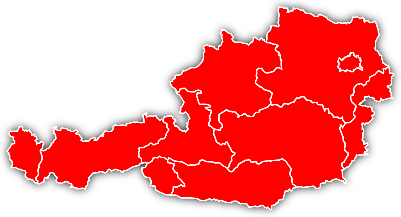
English: Political map of Austria in English.
Deutsch: Politische Karte Österreichs in Englisch. |
||
| Date | |||
| Source |
English: Self created, with a little help from this map.
Deutsch: Selbst erstellt, mit ein wenig Hilfe von dieser Karte. |
||
| Author | Fleshgrinder | ||
| Permission (Reusing this file) |
|
||
| Other versions | German | ||
| SVG development | This map was created with an unknown SVG tool. English: Where's the text to translate?
There's no visibel text to translate, the texts are available as tooltips, if you hover over a state or land a tooltip will tell you which state it is (as of now, Opera only). Deutsch: Wo ist der zu übersetzende Text? Es gibt keinen sichtbaren Text zum übersetzen, die Texte sind als Tooltipps verfügbar, beim Überfahren eines Bundeslande erscheint der Name als Tooltipp und sagt dir um welches Bundesland es sich handelt (bis jetzt, Opera exklusiv). |
File history
Click on a date/time to view the file as it appeared at that time.
| Date/Time | Thumbnail | Dimensions | User | Comment | |
|---|---|---|---|---|---|
| current | 00:20, 26 April 2009 | | 830 × 450 (45 KB) | Fleshgrinder (talk | contribs) | {{ValidSVG}} {{Information |Description = {{en|1=Political map of Austria in English.}} {{de|1=Politische Karte Österreichs in Englisch.}} |Source = {{en|1=Self created, with a little help |
You cannot overwrite this file.
File usage on Commons
There are no pages that use this file.