File:Map of Belgium regions.png
No higher resolution available.
Map_of_Belgium_regions.png (399 × 335 pixels, file size: 6 KB, MIME type: image/png)
Captions
Captions
Add a one-line explanation of what this file represents
Summary
edit
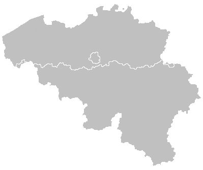
| Description | Map of Belgium regions |
| Source | Own work |
| Author | Drieskamp |
Licensing
edit
| This work has been released into the public domain by its author, I, Drieskamp. This applies worldwide. In some countries this may not be legally possible; if so: I, Drieskamp grants anyone the right to use this work for any purpose, without any conditions, unless such conditions are required by law. |
File history
Click on a date/time to view the file as it appeared at that time.
| Date/Time | Thumbnail | Dimensions | User | Comment | |
|---|---|---|---|---|---|
| current | 21:40, 9 July 2007 | | 399 × 335 (6 KB) | Wester (talk | contribs) | {{Information |Description= |Source= |Date= |Author= |Permission= |other_versions= }} |
You cannot overwrite this file.
File usage on Commons
There are no pages that use this file.