File:Map of Dodge City, Kansas.gif
No higher resolution available.
Map_of_Dodge_City,_Kansas.gif (575 × 425 pixels, file size: 53 KB, MIME type: image/gif)
Captions
Captions
Add a one-line explanation of what this file represents
| Description |
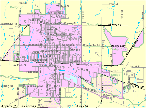
English: Map of Dodge City, Kansas |
|||
| Date | Unknown date; downloaded 9 August 2010 | |||
| Source | http://factfinder.census.gov/servlet/MapItDrawServlet?geo_id=16000US2018250&_bucket_id=48&tree_id=338&context=saff&_lang=en&_sse=on, from http://factfinder.census.gov | |||
| Author | United States Census Bureau | |||
| Permission (Reusing this file) |
|

File history
Click on a date/time to view the file as it appeared at that time.
| Date/Time | Thumbnail | Dimensions | User | Comment | |
|---|---|---|---|---|---|
| current | 21:06, 29 October 2010 | | 575 × 425 (53 KB) | FUBAR007 (talk | contribs) | More detailed map from {{w|United States Census Bureau}} |
| 13:08, 9 August 2010 |  | 575 × 425 (26 KB) | FUBAR007 (talk | contribs) | {{Information |Description={{en|1=Map of {{w|Dodge City, Kansas}}}} |Source=http://factfinder.census.gov/servlet/MapItDrawServlet?geo_id=16000US2018250&_bucket_id=48&tree_id=338&context=saff&_lang=en&_sse=on, from http://factfinder.census.gov |Author={{w| |
You cannot overwrite this file.
File usage on Commons
There are no pages that use this file.
File usage on other wikis
The following other wikis use this file:
- Usage on en.wikipedia.org
- Usage on fa.wikipedia.org
- Usage on sh.wikipedia.org