File:Map of Ireland - Williamite War.gif
No higher resolution available.
Map_of_Ireland_-_Williamite_War.gif (466 × 588 pixels, file size: 100 KB, MIME type: image/gif)
Captions
Captions
Add a one-line explanation of what this file represents
Summary
edit
| Description |
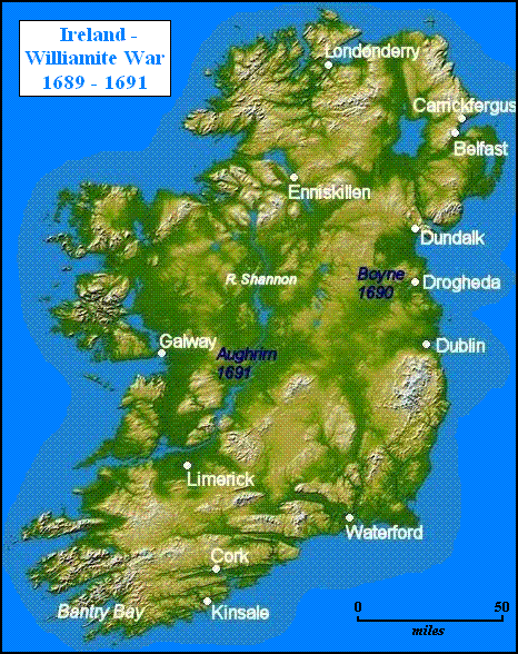
English: Map of Ireland - Williamite War. |
| Source |
Adapted from original: [1] |
| Author | NASA/JPL-Caltech |
Licensing
edit
| This file is in the public domain in the United States because it was solely created by NASA. NASA copyright policy states that "NASA material is not protected by copyright unless noted". (See Template:PD-USGov, NASA copyright policy page or JPL Image Use Policy.) | ||
 |
Warnings:
|
Original upload log
edit
The original description page was here. All following user names refer to en.wikipedia.
- 2006-10-04 15:49 Raymond Palmer 466×588× (101999 bytes) ==Summary== Adapted from original: [http://earthobservatory.nasa.gov/Newsroom/NewImages/images.php3?img_id=16853] Image credit: NASA/JPL-Caltech ==Licensing== {{PD-USGov-NASA}} [[Category:Northern Ireland maps]]
File history
Click on a date/time to view the file as it appeared at that time.
| Date/Time | Thumbnail | Dimensions | User | Comment | |
|---|---|---|---|---|---|
| current | 23:06, 21 March 2017 | | 466 × 588 (100 KB) | Allahverdi Verdizade (talk | contribs) | Cross-wiki upload from sv.wikipedia.org |
You cannot overwrite this file.
File usage on Commons
There are no pages that use this file.
File usage on other wikis
The following other wikis use this file:
- Usage on en.wikipedia.org
- Usage on pt.wikipedia.org
- Usage on sv.wikipedia.org
- Usage on uk.wikipedia.org