File:Map of Nagasaki Prefecture Ja.svg

Original file (SVG file, nominally 543 × 499 pixels, file size: 15 KB)
Captions
Captions
Summary edit
| Description |
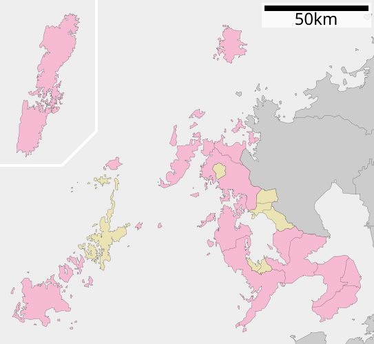
English: Maps of Nagasaki Prefecture, Japan.
日本語: ja:長崎県区画図 |
||
| Date | 更新:2010年3月31日 | ||
| Source |
|
||
| Author | Lincun | ||
| Permission (Reusing this file) |
|
||
| Other versions |
|

Licensing edit

|
Permission is granted to copy, distribute and/or modify this document under the terms of the GNU Free Documentation License, Version 1.2 or any later version published by the Free Software Foundation; with no Invariant Sections, no Front-Cover Texts, and no Back-Cover Texts. A copy of the license is included in the section entitled GNU Free Documentation License. |
- You are free:
- to share – to copy, distribute and transmit the work
- to remix – to adapt the work
- Under the following conditions:
- attribution – You must give appropriate credit, provide a link to the license, and indicate if changes were made. You may do so in any reasonable manner, but not in any way that suggests the licensor endorses you or your use.
- share alike – If you remix, transform, or build upon the material, you must distribute your contributions under the same or compatible license as the original.
File history
Click on a date/time to view the file as it appeared at that time.
| Date/Time | Thumbnail | Dimensions | User | Comment | |
|---|---|---|---|---|---|
| current | 05:15, 8 December 2013 | | 543 × 499 (15 KB) | ニンジンシチュー (talk | contribs) | from ja:ファイル:包括自治体区画図 42000.svg |
| 01:50, 11 April 2010 |  | 543 × 499 (15 KB) | Lincun (talk | contribs) | {{基礎自治体位置図画像情報|長崎県||20100331}} | |
| 09:06, 24 May 2009 |  | 770 × 782 (17 KB) | Monaneko (talk | contribs) | {{Information |Description={{en|1=Maps of Nagasaki Prefecture, Japan.}} {{ja|1=長崎県の地図}} |Source=ja:File:包括自治体区画図 42000.svg |Author=ja:User:Lincun |Date=2007-10-08 13:08 (UTC) |Permission=GFDL |other_versions= }} <!-- | |
| 13:08, 8 October 2007 |  | 770 × 782 (17 KB) | Lincun (talk | contribs) | {{基礎自治体位置図画像情報|長崎県|}} |
You cannot overwrite this file.
File usage on Commons
The following 4 pages use this file:
File usage on other wikis
The following other wikis use this file:
- Usage on en.wikipedia.org
- Usage on fr.wikipedia.org
- Usage on gl.wikipedia.org
- Usage on hu.wikipedia.org
- Usage on ja.wikipedia.org
- 長崎県
- 長崎県立大学
- 長崎県営野球場
- 長崎県立総合運動公園陸上競技場
- 雲仙岳
- 小浜温泉
- 崇福寺 (長崎市)
- 針尾島
- 長崎空港
- 伊王島町
- 小値賀空港
- 福江空港
- 上五島空港
- 壱岐空港
- 西海橋
- 青雲中学校・高等学校
- 島原城
- 大瀬埼灯台
- 長崎県立大村高等学校
- 長崎半島
- 端島 (長崎県)
- 長崎県立長崎工業高等学校
- 長崎県立大村工業高等学校
- 長崎県立大村城南高等学校
- 長崎県立長崎明誠高等学校
- 長崎県立佐世保南高等学校
- 金田城
- 平戸城
- 長崎県立対馬高等学校
- 経ヶ岳 (佐賀県・長崎県)
- 大村航空基地
- 鎮西大社諏訪神社
- 平戸大橋
- 長崎県立佐世保工業高等学校
- 原城
- 長崎県立猶興館高等学校
- 相浦駐屯地
- 生月大橋
- 長崎日本大学中学校・高等学校
- 相浦発電所
- 天手長男神社
- 純心中学校・純心女子高等学校
- 海上自衛隊佐世保史料館
- 長崎県立長崎北陽台高等学校
- 活水中学校・高等学校
- 興神社
View more global usage of this file.