File:Map of Oregon.svg

Size of this PNG preview of this SVG file: 800 × 596 pixels. Other resolutions: 320 × 239 pixels | 640 × 477 pixels | 1,024 × 764 pixels | 1,280 × 954 pixels | 2,560 × 1,909 pixels | 6,451 × 4,810 pixels.
Original file (SVG file, nominally 6,451 × 4,810 pixels, file size: 136 KB)
Captions
Captions
Add a one-line explanation of what this file represents
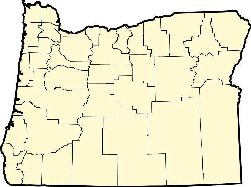
| Description | This is an Oregon locator map with no county maps highlighted. David Benbennick made the original version of this map, and I basically removed one line of code to make this new version. For more information, see Commons:United States county locator maps. |
| Date | (UTC) |
| Source | |
| Author |
|
I, the copyright holder of this work, hereby publish it under the following license:
| I, the copyright holder of this work, release this work into the public domain. This applies worldwide. In some countries this may not be legally possible; if so: I grant anyone the right to use this work for any purpose, without any conditions, unless such conditions are required by law. |
Original upload log edit
This image is a derivative work of the following images:
- File:Map_of_Oregon_highlighting_Crook_County.svg licensed with PD-self
- 2006-02-12T16:16:23Z David Benbennick 6451x4810 (138976 Bytes) {{subst:User:Dbenbenn/clm|county=Crook County|state=Oregon|type=county}}
Uploaded with derivativeFX
File history
Click on a date/time to view the file as it appeared at that time.
| Date/Time | Thumbnail | Dimensions | User | Comment | |
|---|---|---|---|---|---|
| current | 10:26, 13 July 2009 | | 6,451 × 4,810 (136 KB) | ZabMilenko (talk | contribs) | {{Information |Description=This is an Oregon locator map with no county maps highlighted. David Benbennick made the original version of this map, and I basically removed one line of code to make this new version. For more information, |
You cannot overwrite this file.
File usage on Commons
There are no pages that use this file.
File usage on other wikis
The following other wikis use this file:
- Usage on incubator.wikimedia.org