File:Map of USA highlighting Massachusetts.png

No higher resolution available.
Map_of_USA_highlighting_Massachusetts.png (280 × 183 pixels, file size: 35 KB, MIME type: image/png)
Captions
Captions
Add a one-line explanation of what this file represents

|
File:Map of USA MA.svg is a vector version of this file. It should be used in place of this PNG file when not inferior.
File:Map of USA highlighting Massachusetts.png → File:Map of USA MA.svg
For more information, see Help:SVG. |
 |
Summary edit
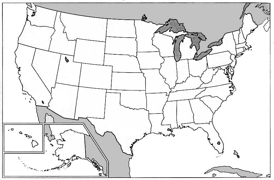
Public domain map courtesy of The General Libraries, The University of Texas at Austin, modified to highlight state boundaries.
Source: Modified version of United States (Outline Map) 1998 from Perry-Castañeda Library Map Collection: United States Maps
Русский: карта США с выделенным Массачусеттсом
Licensing edit

|
Permission is granted to copy, distribute and/or modify this document under the terms of the GNU Free Documentation License, Version 1.2 or any later version published by the Free Software Foundation; with no Invariant Sections, no Front-Cover Texts, and no Back-Cover Texts. A copy of the license is included in the section entitled GNU Free Documentation License. |
| This file is licensed under the Creative Commons Attribution-Share Alike 3.0 Unported license. | ||
| ||
| This licensing tag was added to this file as part of the GFDL licensing update. |
from en:wikipedia
File history
Click on a date/time to view the file as it appeared at that time.
| Date/Time | Thumbnail | Dimensions | User | Comment | |
|---|---|---|---|---|---|
| current | 15:09, 9 April 2005 | | 280 × 183 (35 KB) | David.gaya (talk | contribs) | From English wikipedia: Public domain map courtesy of [http://www.lib.utexas.edu/ The General Libraries, The University of Texas at Austin], modified to highlight state boundaries. {{GFDL}} Category:Maps of U.S. states Category:Massachusetts |
You cannot overwrite this file.
File usage on Commons
There are no pages that use this file.
File usage on other wikis
The following other wikis use this file:
- Usage on bat-smg.wikipedia.org
- Usage on br.wikipedia.org
- Usage on chr.wikipedia.org
- Usage on en.wikinews.org
- Usage on en.wiktionary.org
- Usage on eo.wikipedia.org
- Usage on es.wikipedia.org
- Usage on frp.wikipedia.org
- Usage on fr.wikipedia.org
- Usage on fr.wikinews.org
- Usage on fy.wikipedia.org
- Usage on hr.wiktionary.org
- Usage on hu.wiktionary.org
- Usage on ig.wikipedia.org
- Usage on jv.wikipedia.org
- Usage on ko.wikipedia.org
- Usage on kw.wikipedia.org
- Usage on lij.wikipedia.org
- Usage on li.wikipedia.org
- Usage on nl.wikipedia.org
- Usage on no.wikipedia.org
- Usage on no.wikinews.org
- Usage on no.wiktionary.org
- Usage on pam.wikipedia.org
- Usage on pap.wikipedia.org
- Usage on rm.wikipedia.org
- Usage on ro.wikipedia.org
- Usage on ru.wiktionary.org
- Usage on scn.wikipedia.org
- Usage on sl.wikipedia.org
- Usage on sw.wikipedia.org
- Usage on ug.wikipedia.org
- Usage on zh.wikinews.org
- Usage on zh.wiktionary.org