File:Map of Wyoming highlighting Hot Springs County.svg

Size of this PNG preview of this SVG file: 783 × 599 pixels. Other resolutions: 314 × 240 pixels | 627 × 480 pixels | 1,003 × 768 pixels | 1,280 × 980 pixels | 2,560 × 1,960 pixels | 5,883 × 4,504 pixels.
Original file (SVG file, nominally 5,883 × 4,504 pixels, file size: 26 KB)
Captions
Captions
Add a one-line explanation of what this file represents
Summary edit
| Description |
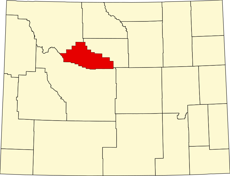
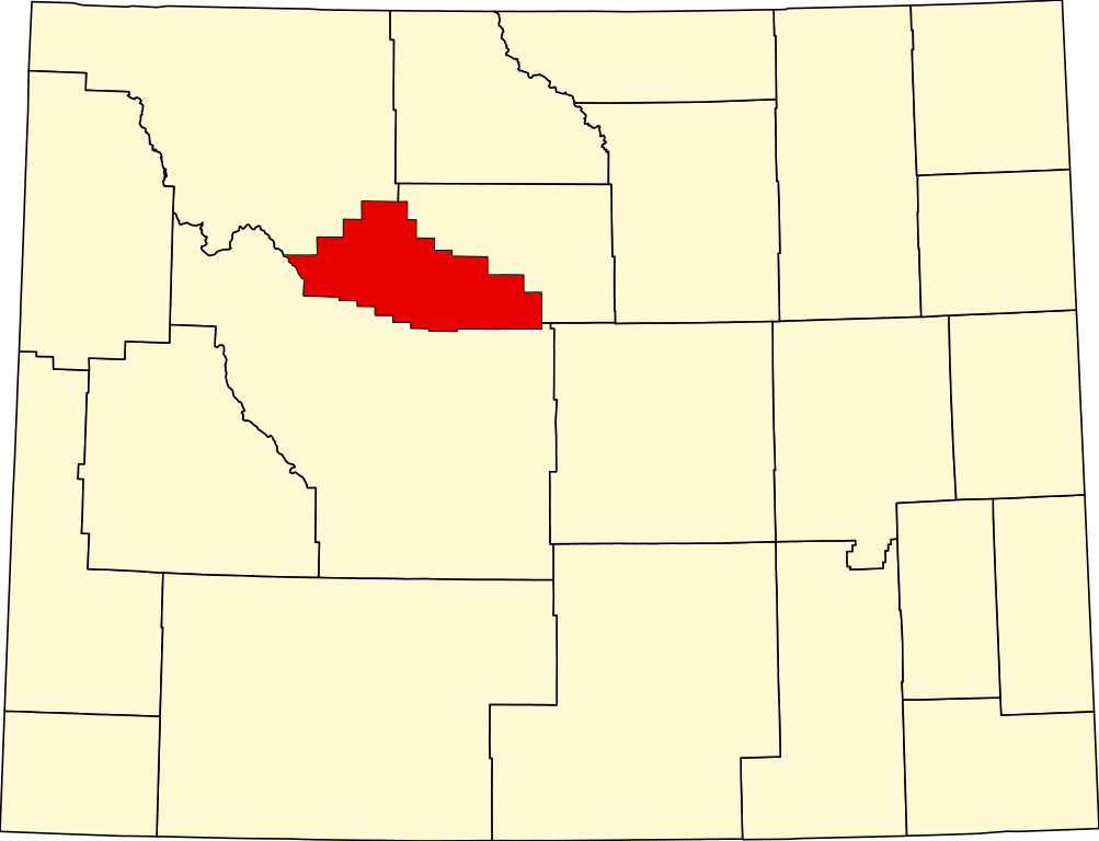
English: This is a locator map showing Hot Springs County in Wyoming. For more information, see Commons:United States county locator maps. |
| Date | |
| Source |
Own work: English: The maps use data from nationalatlas.gov, specifically countyp020.tar.gz on the Raw Data Download page. The maps also use state outline data from statesp020.tar.gz. The Florida maps use hydrogm020.tar.gz to display Lake Okeechobee. |
| Author | David Benbennick |
Licensing edit
| I, the copyright holder of this work, release this work into the public domain. This applies worldwide. In some countries this may not be legally possible; if so: I grant anyone the right to use this work for any purpose, without any conditions, unless such conditions are required by law. |
File history
Click on a date/time to view the file as it appeared at that time.
| Date/Time | Thumbnail | Dimensions | User | Comment | |
|---|---|---|---|---|---|
| current | 18:24, 12 February 2006 | | 5,883 × 4,504 (26 KB) | David Benbennick (talk | contribs) | {{subst:User:Dbenbenn/clm|county=Hot Springs County|state=Wyoming|type=county}} |
You cannot overwrite this file.
File usage on Commons
The following 3 pages use this file:
File usage on other wikis
The following other wikis use this file:
- Usage on ar.wikipedia.org
- Usage on bg.wikipedia.org
- Usage on bpy.wikipedia.org
- Usage on ca.wikipedia.org
- Usage on cdo.wikipedia.org
- Usage on ceb.wikipedia.org
- Usage on ce.wikipedia.org
- Usage on cy.wikipedia.org
- Usage on de.wikipedia.org
- Usage on en.wikipedia.org
- List of counties in Wyoming
- Hot Springs County, Wyoming
- East Thermopolis, Wyoming
- Kirby, Wyoming
- Lucerne, Wyoming
- Owl Creek, Wyoming
- Thermopolis, Wyoming
- Wind River Indian Reservation
- Template:Hot Springs County, Wyoming
- Legend Rock
- User:Nyttend/County templates/WY
- Thermopolis Main Post Office
- Gebo, Wyoming
- National Register of Historic Places listings in Hot Springs County, Wyoming
- Template:NRHP in Hot Springs County, Wyoming
- Bates Battlefield
- CQA Four Mile Bridge
- EFP Bridge over Owl Creek
- Callaghan Apartments
- Alex Halone House
- Woodruff Cabin Site
- Downtown Thermopolis Historic District
- Category:Populated places in Hot Springs County, Wyoming
- Kirby Jail and Town Hall
- Grass Creek, Wyoming
- User:AridCeption/sandbox
View more global usage of this file.