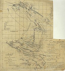
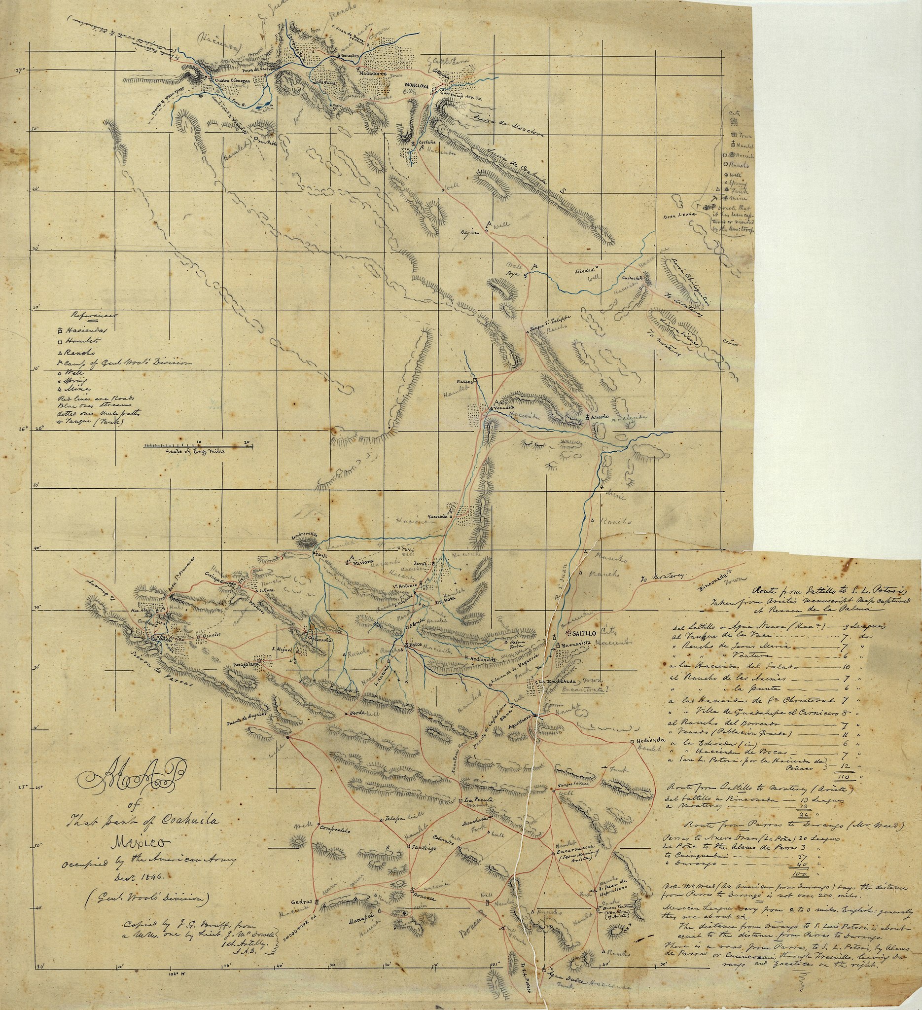
File:Map of that part of Coahuila, Mexico, occupied by the American Army, Decr. 1846 (Genl. Wool's Division) LOC 2001622589.jpg

Size of this preview: 547 × 599 pixels. Other resolutions: 219 × 240 pixels | 438 × 480 pixels | 701 × 768 pixels | 935 × 1,024 pixels | 1,870 × 2,048 pixels | 6,584 × 7,210 pixels.
Original file (6,584 × 7,210 pixels, file size: 5.03 MB, MIME type: image/jpeg)
Captions
Captions
Add a one-line explanation of what this file represents
Summary edit
| Description |
English: Shows southern state of Coahuila and northwestern state of Nuevo León. Relief shown by hachures. Pen-and-ink, red ink, blue ink, and pencil on tracing paper. LC Luso-Hispanic World, 542 Available also through the Library of Congress Web site as a raster image. Vault |
||
| Title | Map of that part of Coahuila, Mexico, occupied by the American Army, Decr. 1846 (Genl. Wool's Division) | ||
| Shelf ID | G4450 1846 .M3 | ||
| Date | |||
| Source | https://www.loc.gov/item/2001622589/ | ||
| Author | Mcdowell, Irvin; Bruff, Joseph Goldsborough | ||
| Permission (Reusing this file) |
|
||
| Other versions |
|
||
| Location | Nuevo León · Nuevo León (State) · Coahuila · Coahuila (State) · Mexico | ||
| Part of | American Memory · Catalog · Geography And Map Division · Cultural Landscapes | ||
| Subject | Maps, Manuscript · Coahuila (Mexico : State) · Mexico · Nuevo León (Mexico : State) · Nuevo León (State) · Coahuila (State) |


_LOC_2001622589.jpg&action=edit§ion=1)
Licensing edit
_LOC_2001622589.jpg&action=edit§ion=2)
|
This is a faithful photographic reproduction of a two-dimensional, public domain work of art. The work of art itself is in the public domain for the following reason:
The official position taken by the Wikimedia Foundation is that "faithful reproductions of two-dimensional public domain works of art are public domain".
This photographic reproduction is therefore also considered to be in the public domain in the United States. In other jurisdictions, re-use of this content may be restricted; see Reuse of PD-Art photographs for details. | ||||
File history
Click on a date/time to view the file as it appeared at that time.
| Date/Time | Thumbnail | Dimensions | User | Comment | |
|---|---|---|---|---|---|
| current | 21:47, 21 May 2018 | | 6,584 × 7,210 (5.03 MB) | Fæ (talk | contribs) | LOC Maps https://www.loc.gov/item/2001622589/ #999 |
You cannot overwrite this file.
File usage on Commons
The following page uses this file:
_LOC_2001622589.jpg&oldid=860908341)