File:Map of the Canary Islands de.svg

Size of this PNG preview of this SVG file: 800 × 355 pixels. Other resolutions: 320 × 142 pixels | 640 × 284 pixels | 1,024 × 455 pixels | 1,280 × 569 pixels | 2,560 × 1,137 pixels | 3,152 × 1,400 pixels.
Original file (SVG file, nominally 3,152 × 1,400 pixels, file size: 828 KB)
Captions
Captions
Add a one-line explanation of what this file represents
Summary edit
| Description |
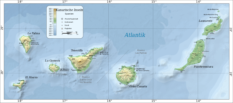
Deutsch: Karte der Kanarischen Inseln English: Map of the Canary Islands (German). Română: Harta Insulelor Canare. |
||
| Date | |||
| Source |
This file was derived from: Map of the Canary Islands.svg: |
||
| Author |
Map of the Canary Islands.svg: Mysid
|
||
| Other versions |
|
||
| SVG development |
|


Licensing edit
| This work has been released into the public domain by its author, Timmaexx. This applies worldwide. In some countries this may not be legally possible; if so: |
File history
Click on a date/time to view the file as it appeared at that time.
| Date/Time | Thumbnail | Dimensions | User | Comment | |
|---|---|---|---|---|---|
| current | 22:36, 13 February 2014 | | 3,152 × 1,400 (828 KB) | Timmaexx (talk | contribs) | User created page with UploadWizard |
You cannot overwrite this file.
File usage on Commons
The following 5 pages use this file:
File usage on other wikis
The following other wikis use this file:
- Usage on fr.wikipedia.org