File:Map of the March 22, 2023 EF1 Tornado in the Los Angeles Metro.jpg
Size of this preview: 800 × 423 pixels. Other resolutions: 320 × 169 pixels | 640 × 338 pixels | 1,024 × 541 pixels | 1,535 × 811 pixels.
Original file (1,535 × 811 pixels, file size: 470 KB, MIME type: image/jpeg)
Captions
Captions
Map of the March 22, 2023 EF1 tornado in the Los Angeles Metro
Summary edit
| Description |
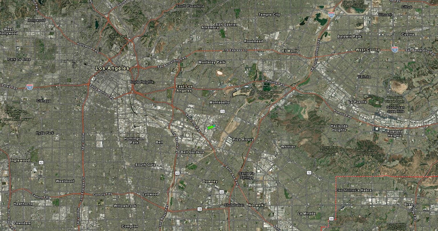
English: A map from the National Weather Service showing the March 22, 2023 high-end EF1 tornado in the Greater Los Angeles Metropolitan. This tornado struck the suburb city of Montebello, which is just 8 miles (13 km) away from downtown Los Angeles. |
| Date | |
| Source | NOAA's Damage Assessment Toolkit: https://apps.dat.noaa.gov/StormDamage/DamageViewer/ |
| Author | National Oceanic and Atmospheric Administration |
Licensing edit
This image is in the public domain because it contains materials that originally came from the U.S. National Oceanic and Atmospheric Administration, taken or made as part of an employee's official duties.
|
File history
Click on a date/time to view the file as it appeared at that time.
| Date/Time | Thumbnail | Dimensions | User | Comment | |
|---|---|---|---|---|---|
| current | 04:43, 20 May 2023 | | 1,535 × 811 (470 KB) | WeatherWriter (talk | contribs) | Uploaded a work by National Oceanic and Atmospheric Administration from NOAA's Damage Assessment Toolkit: https://apps.dat.noaa.gov/StormDamage/DamageViewer/ with UploadWizard |
You cannot overwrite this file.
File usage on Commons
There are no pages that use this file.