File:Map of the counties of Chenango and Cortland, New York - from actual surveys (10210935494).jpg

Size of this preview: 591 × 600 pixels. Other resolutions: 236 × 240 pixels | 473 × 480 pixels | 788 × 800 pixels.
Original file (788 × 800 pixels, file size: 148 KB, MIME type: image/jpeg)
Captions
Captions
Add a one-line explanation of what this file represents
Summary edit
.jpg&action=edit§ion=1)
| Description |
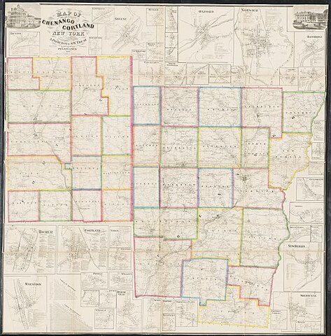
English: Zoom into http://maps.bpl.org/id/18268 at http://maps.bpl.org. Author: Warner, A. |
| Date | |
| Source | https://www.flickr.com/photos/normanbleventhalmapcenter/10210935494/ |
| Author | Norman B. Leventhal Map Center at the BPL |
| Permission (Reusing this file) |
At the time of upload, the image license was automatically confirmed using the Flickr API. For more information see Flickr API detail. |
| Flickr sets |
|
Licensing edit
.jpg&action=edit§ion=2)
This work is in the public domain in the United States because it was published (or registered with the U.S. Copyright Office) before January 1, 1929.
Public domain works must be out of copyright in both the United States and in the source country of the work in order to be hosted on the Commons. If the work is not a U.S. work, the file must have an additional copyright tag indicating the copyright status in the source country.
Note: This tag should not be used for sound recordings. |
This file is licensed under the Creative Commons Attribution 2.0 Generic license.
- You are free:
- to share – to copy, distribute and transmit the work
- to remix – to adapt the work
- Under the following conditions:
- attribution – You must give appropriate credit, provide a link to the license, and indicate if changes were made. You may do so in any reasonable manner, but not in any way that suggests the licensor endorses you or your use.
| This image was originally posted to Flickr by Norman B. Leventhal Map Center at the BPL at https://flickr.com/photos/24528911@N05/10210935494. It was reviewed on 26 July 2017 by FlickreviewR and was confirmed to be licensed under the terms of the cc-by-2.0. |
File history
Click on a date/time to view the file as it appeared at that time.
| Date/Time | Thumbnail | Dimensions | User | Comment | |
|---|---|---|---|---|---|
| current | 21:05, 26 July 2017 | | 788 × 800 (148 KB) | Fæ (talk | contribs) | Norman B. Leventhal Map Center, Set 72157615595630049, ID 10210935494, Original title Map of the counties of Chenango and Cortland, New York : from actual surveys |
You cannot overwrite this file.
File usage on Commons
There are no pages that use this file.
.jpg&oldid=822150807)