File:Mapa Ibirapuera.png

Original file (1,527 × 864 pixels, file size: 1.07 MB, MIME type: image/png)
Captions
Captions
Summary edit
| Description |
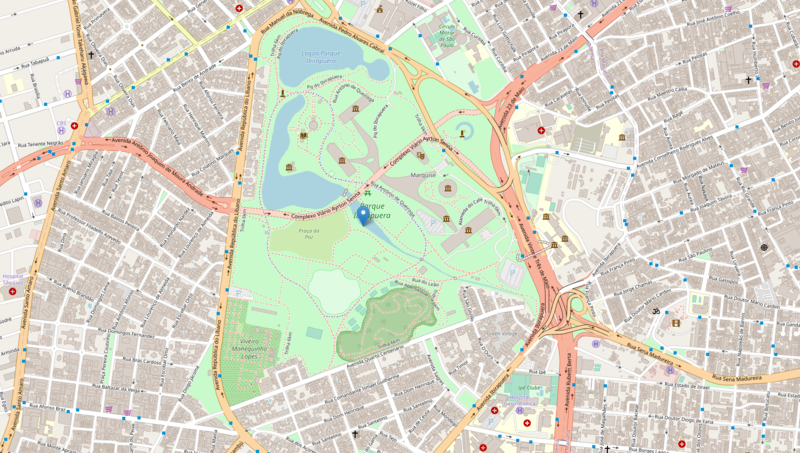
Português: Mapa do Parque Ibirapuera, São Paulo, Brasil. |
| Date | |
| Source | OpenStreetMap |
| Author | OpenStreetMap |
Licensing edit
2021 file edit
| This work contains information from OpenStreetMap, which is made available under the Open Database License (ODbL).
The ODbL does not require any particular license for maps produced from ODbL data. Prior to 1 August 2020, map tiles produced by the OpenStreetMap Foundation were licensed under the CC-BY-SA-2.0 license. Maps produced by other people may be subject to other licences. |
2017 file edit
| This work contains information from OpenStreetMap, which is made available under the Open Database License (ODbL).
The ODbL does not require any particular license for maps produced from ODbL data. Prior to 1 August 2020, map tiles produced by the OpenStreetMap Foundation were licensed under the CC-BY-SA-2.0 license. Maps produced by other people may be subject to other licences. |
2011 file edit
| Description |
This map was created from OpenStreetMap project data, collected by the community. This map may be incomplete, and may contain errors. Don't rely solely on it for navigation. |
|||
| Date | (see file history) | |||
| Source | openstreetmap.org | |||
| Creator |
OpenStreetMap contributors |
|||
| Permission (Reusing this file) |
OpenStreetMap data is available under the Open Database License (details). Map tiles are licensed under the Creative Commons Attribution-ShareAlike 2.0 license (CC-BY-SA 2.0).
This file is licensed under the Creative Commons Attribution-Share Alike 2.0 Generic license.
|
|||
| Georeferencing | If inappropriate please set warp_status = skip to hide. |
File history
Click on a date/time to view the file as it appeared at that time.
| Date/Time | Thumbnail | Dimensions | User | Comment | |
|---|---|---|---|---|---|
| current | 13:07, 30 March 2021 | | 1,527 × 864 (1.07 MB) | Tet (talk | contribs) | 2021 version of the map on OpenStreetMap |
| 15:49, 3 August 2017 |  | 1,181 × 868 (999 KB) | Tet (talk | contribs) | 2017 version of the map from OpenStreetMap. | |
| 18:06, 12 June 2011 |  | 970 × 673 (437 KB) | Chronus (talk | contribs) |
You cannot overwrite this file.
File usage on Commons
The following 7 pages use this file:
- User:Chumwa/OgreBot/Potential transport maps/2017 August 1-10
- User:Chumwa/OgreBot/Transport Maps/2017 August 1-10
- User:Chumwa/OgreBot/Transport Maps/2021 March 21-31
- User:Chumwa/OgreBot/Travel and communication maps/2017 August 1-10
- User:Chumwa/OgreBot/Travel and communication maps/2021 March 21-31
- User:Jcornelius/São Paulo/2021 March 21-31
- Category:Ibirapuera Park
File usage on other wikis
The following other wikis use this file:
- Usage on arz.wikipedia.org
- Usage on ast.wikipedia.org
- Usage on ca.wikipedia.org
- Usage on de.wikipedia.org
- Usage on en.wikipedia.org
- Usage on fi.wikipedia.org
- Usage on nl.wikipedia.org
- Usage on pt.wikipedia.org
- Usage on ru.wikipedia.org
- Usage on uk.wikipedia.org
- Usage on vi.wikipedia.org
- Usage on www.wikidata.org