File:Mapa de Alagoas, c.1903.jpg

Size of this preview: 800 × 490 pixels. Other resolutions: 320 × 196 pixels | 640 × 392 pixels | 1,024 × 628 pixels | 1,280 × 785 pixels | 2,560 × 1,569 pixels | 3,496 × 2,143 pixels.
Original file (3,496 × 2,143 pixels, file size: 914 KB, MIME type: image/jpeg)
Captions
Captions
Add a one-line explanation of what this file represents
Summary edit
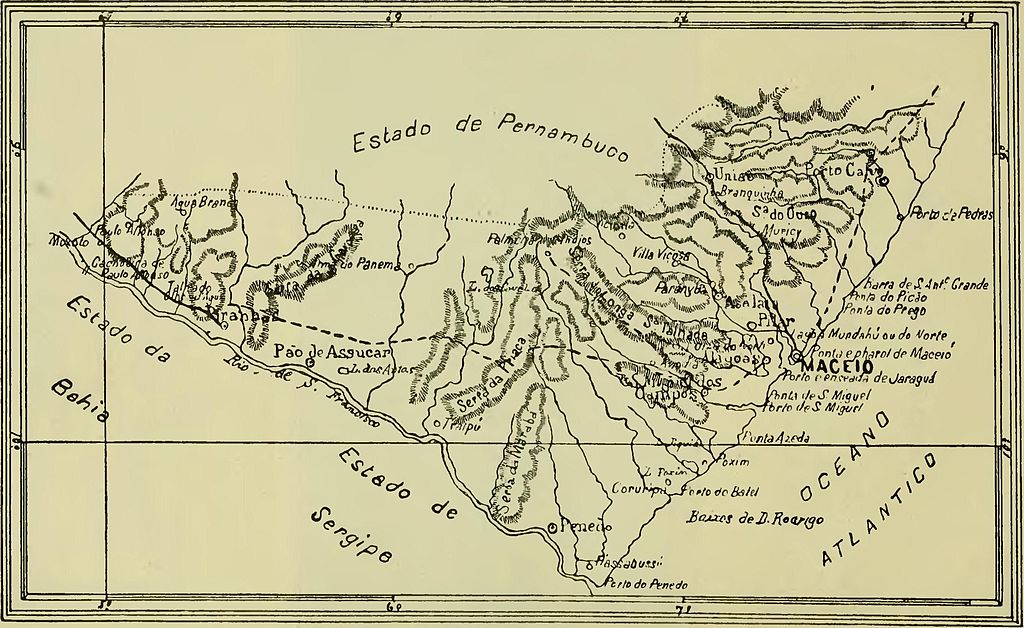
| Description |
Português: Mapa de Alagoas, c.1903. |
|||
| Date | ||||
| Source |
This file was derived from: A Patria Brazileira.djvu:  |
|||
| Author |
|
|||
| Permission (Reusing this file) |
|

File history
Click on a date/time to view the file as it appeared at that time.
| Date/Time | Thumbnail | Dimensions | User | Comment | |
|---|---|---|---|---|---|
| current | 19:04, 26 June 2014 | | 3,496 × 2,143 (914 KB) | OTAVIO1981 (talk | contribs) | User created page with UploadWizard |
You cannot overwrite this file.
File usage on Commons
There are no pages that use this file.
File usage on other wikis
The following other wikis use this file:
- Usage on pt.wikipedia.org
- Usage on pt.wikisource.org