File:Mapa de Francisco Morazán-Tegucigalpa(cap.).PNG

Size of this preview: 403 × 599 pixels. Other resolutions: 161 × 240 pixels | 497 × 739 pixels.
Original file (497 × 739 pixels, file size: 25 KB, MIME type: image/png)
Captions
Captions
Add a one-line explanation of what this file represents
Summary
edit.PNG&action=edit§ion=1)
| Description | |
| Date | martes 4 de agosto del 2009 |
| Source | Own work |
| Author | KES47 |
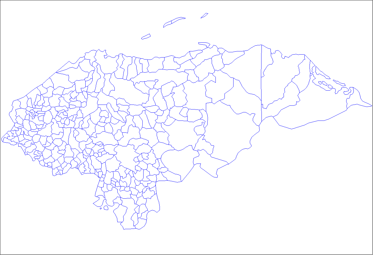
es: hecho en Paint con esfuerzo. Las líneas azules son las fronteras entre los municipios y las negras, entre los departamentos. en: made in Paint whit effort. The blue lines are the frontier between the municipalitys and the black lines, between the departments.
Licensing
edit.PNG&action=edit§ion=2)
| I, the copyright holder of this work, release this work into the public domain. This applies worldwide. In some countries this may not be legally possible; if so: I grant anyone the right to use this work for any purpose, without any conditions, unless such conditions are required by law. |
File history
Click on a date/time to view the file as it appeared at that time.
| Date/Time | Thumbnail | Dimensions | User | Comment | |
|---|---|---|---|---|---|
| current | 04:41, 5 August 2009 | | 497 × 739 (25 KB) | Kes47 (talk | contribs) | {{Information |Description={{en|1=I made this image with help of [http://upload.wikimedia.org/wikipedia/commons/5/5d/Honduras_municipalities.png this] and [http://upload.wikimedia.org/wikipedia/commons/2/2a/Honduras_departments_blank.png this] images, Is |
You cannot overwrite this file.
File usage on Commons
There are no pages that use this file.
.PNG&oldid=668687798)