File:Mapa de la zona occidental del Virreinato, atlas de Janssonio y Blaew (siglo XVI).jpg
Mapa_de_la_zona_occidental_del_Virreinato,_atlas_de_Janssonio_y_Blaew_(siglo_XVI).jpg (636 × 526 pixels, file size: 52 KB, MIME type: image/jpeg)
Captions
Captions
Summary edit
.jpg&action=edit§ion=1)
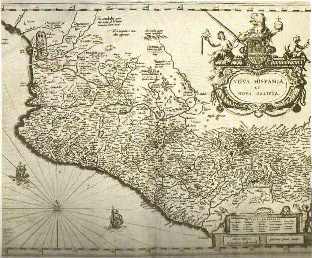
| Description | Mapa de la zona occidental del Virreinato, procedente de los atlas de Janssonio y Blaew (siglo XVI) |
| Date | 16th century |
| Source | http://www.ub.es/geocrit/sn/sn-218-71.htm |
| Author | Unknown author |
| Permission (Reusing this file) |
PD-Art. This is a faithful photographic reproduction of an original two-dimensional work of art. The original image comprising the work of art itself is in the public domain due to its old age. |
Licensing edit
|
|||||
.jpg&action=edit§ion=2)
File history
Click on a date/time to view the file as it appeared at that time.
| Date/Time | Thumbnail | Dimensions | User | Comment | |
|---|---|---|---|---|---|
| current | 01:51, 3 July 2007 | | 636 × 526 (52 KB) | Raveonpragha (talk | contribs) | {{Information |Description= |Source= |Date= |Author= |Permission= |other_versions= }} {| cellspacing="8" cellpadding="0" style="clear:both; margin:0.5em auto; background-color:#f0f0f0; border:2px solid #e0e0e0;" |<div style="color:red; font-size:150%; tex |
You cannot overwrite this file.
File usage on Commons
The following page uses this file:
- File:Rojas-2.jpg (file redirect)
File usage on other wikis
The following other wikis use this file:
- Usage on es.wikipedia.org
- Usage on fr.wikipedia.org
- Usage on pt.wikipedia.org
.jpg&oldid=697540476)