File:Mapa de localització a les comarques catalanes.svg

Size of this PNG preview of this SVG file: 600 × 600 pixels. Other resolutions: 240 × 240 pixels | 480 × 480 pixels | 768 × 768 pixels | 1,024 × 1,024 pixels | 2,048 × 2,048 pixels | 907 × 907 pixels.
Original file (SVG file, nominally 907 × 907 pixels, file size: 376 KB)
Captions
Captions
Add a one-line explanation of what this file represents
| Description |
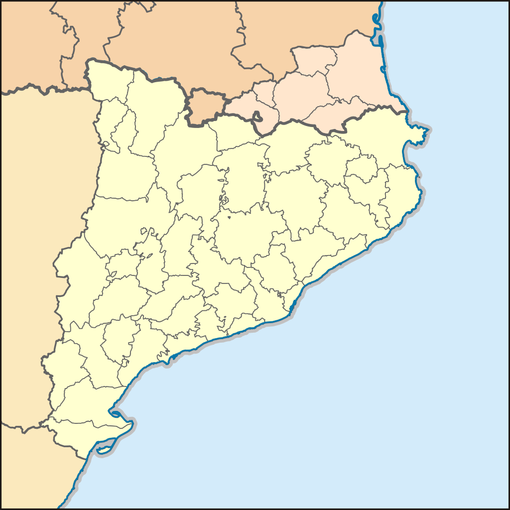
Català: Comarques de la Catalunya Nord segons el Nomenclàtor toponímic de la Catalunya del Nord, i comarques oficials de la Comunitat Autònoma de Catalunya. |
| Date | (UTC) |
| Source | |
| Author |
|
This file is licensed under the Creative Commons Attribution-Share Alike 3.0 Unported license.
- You are free:
- to share – to copy, distribute and transmit the work
- to remix – to adapt the work
- Under the following conditions:
- attribution – You must give appropriate credit, provide a link to the license, and indicate if changes were made. You may do so in any reasonable manner, but not in any way that suggests the licensor endorses you or your use.
- share alike – If you remix, transform, or build upon the material, you must distribute your contributions under the same or compatible license as the original.
Original upload log edit
This image is a derivative work of the following images:
- File:Mapa_de_localització_a_la_CCAA_de_Catalunya.svg licensed with Cc-by-sa-3.0
- 2010-01-02T20:04:56Z Martorell 256x256 (612789 Bytes) Added frame border.
- 2010-01-02T19:56:25Z Martorell 256x256 (612622 Bytes) {{Information |Description={{en|Blank administrative map of [[:en:France|France]] for geo-location purpose, with regions and departements distinguished.Approximate scale : 1:3,000,000}} {{fr|Carte administrative vierge de la
- File:Mapa_municipal_de_Catalunya.svg licensed with Cc-by-sa-2.5
- 2007-02-16T21:50:24Z Ebrenc 425x400 (965818 Bytes) {{Cc-by-sa-2.5|Joan M. Borràs ([[:ca:Usuari:Ebrenc|ebrenc]])}} [[Category:Catalonia]]
- File:Comarques_Catalunya_Nord_Nomenclator.svg licensed with Cc-by-sa-2.5
- 2008-02-05T15:42:59Z Vriullop 558x304 (1012865 Bytes) {{Information |Description={{ca|Comarques de la Catalunya Nord segons el ''Nomenclàtor toponímic de la Catalunya del Nord''}} |Source=own work edited from [[:Image:Mapa municipal dels Pirineus Orientals.svg]] by [[User:Ebre
Uploaded with derivativeFX
File history
Click on a date/time to view the file as it appeared at that time.
| Date/Time | Thumbnail | Dimensions | User | Comment | |
|---|---|---|---|---|---|
| current | 13:38, 23 September 2017 | | 907 × 907 (376 KB) | Furfur (talk | contribs) | another detail (French département borders the sames als Spanish region borders) |
| 13:32, 23 September 2017 |  | 907 × 907 (377 KB) | Furfur (talk | contribs) | minimal graphical improvements | |
| 13:18, 3 January 2010 |  | 1,134 × 1,134 (373 KB) | Martorell (talk | contribs) | {{Information |Description={{en|Blank administrative map of France for geo-location purpose, with regions and departements distinguished.<br/>Approximate scale : 1:3,000,000}} {{fr|Carte administrative vierge de la France des |
You cannot overwrite this file.
File usage on Commons
The following page uses this file:
File usage on other wikis
The following other wikis use this file:
- Usage on an.wikipedia.org
- Usage on ca.wikinews.org
- Usage on de.wikipedia.org
- Usage on el.wikipedia.org
- Usage on oc.wikipedia.org