File:Mapa de localización Cusco.svg

Size of this PNG preview of this SVG file: 512 × 576 pixels. Other resolutions: 213 × 240 pixels | 427 × 480 pixels | 683 × 768 pixels | 910 × 1,024 pixels | 1,820 × 2,048 pixels.
Original file (SVG file, nominally 512 × 576 pixels, file size: 1.5 MB)
Captions
Captions
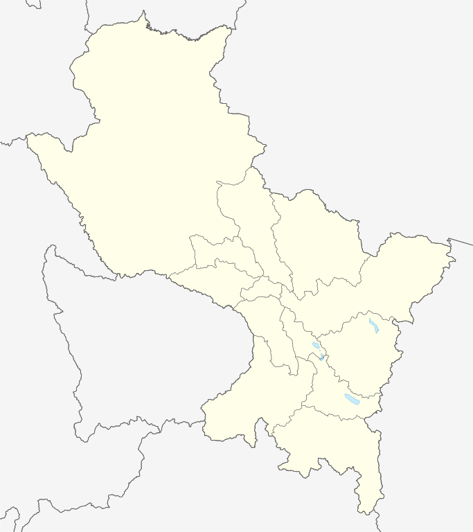
Blank political map of Cusco.
Summary
edit| Description |
Español: Mapa político en blanco del departamento de Cusco.
Proyección equirectangular, límites geográficos del mapa:
English: Blank political map of department of Cusco.
Equirectangular projection, geographic limits of the map:
|
| Date | |
| Source |
Own work, using:
|
| Author | Waterloo1883 |
| Other versions |
|

Licensing
edit
I, the copyright holder of this work, hereby publish it under the following license:
This file is licensed under the Creative Commons Attribution-Share Alike 4.0 International license.
- You are free:
- to share – to copy, distribute and transmit the work
- to remix – to adapt the work
- Under the following conditions:
- attribution – You must give appropriate credit, provide a link to the license, and indicate if changes were made. You may do so in any reasonable manner, but not in any way that suggests the licensor endorses you or your use.
- share alike – If you remix, transform, or build upon the material, you must distribute your contributions under the same or compatible license as the original.
File history
Click on a date/time to view the file as it appeared at that time.
| Date/Time | Thumbnail | Dimensions | User | Comment | |
|---|---|---|---|---|---|
| current | 18:36, 25 July 2021 | | 512 × 576 (1.5 MB) | Waterloo1883 (talk | contribs) | Límites del marco del mapa más precisos. |
| 00:20, 1 October 2020 |  | 512 × 577 (1.09 MB) | Waterloo1883 (talk | contribs) | Cambio de colores de fondo y de los límites administrativos. | |
| 20:54, 6 April 2020 |  | 512 × 577 (1.08 MB) | Waterloo1883 (talk | contribs) | Uploaded own work with UploadWizard |
You cannot overwrite this file.
File usage on Commons
The following 3 pages use this file:
File usage on other wikis
The following other wikis use this file:
- Usage on es.wikipedia.org
- Cuzco
- Ollantaytambo
- Andahuaylillas
- Chinchero
- Aeropuerto Internacional Alejandro Velasco Astete
- Batalla de Ollantaytambo
- Aguas Calientes (Perú)
- Distrito de Kimbiri
- Yauri
- Quimbiri
- Sicuani
- Batalla de Jaquijahuana
- Quillabamba
- Acomayo
- Maras (Urubamba)
- Ocongate
- Wikiproyecto:Ilustración/Taller de Cartografía/Realizaciones/América del Sur
- Yanaoca
- Sitio del Cuzco
- Paucartambo
- Camino Inca a Machu Picchu
- Calca
- Urcos
- Paruro
- Anta-Izcuchaca
- Urubamba (ciudad)
- Santo Tomás (Chumbivilcas)
- Yucay
- Pomacanchi
- Pitumarca
- Oropesa (Cusco)
- Coporaque (Cusco)
- Machu Picchu (montaña)
- Putucusi
- Batalla de Sangarará
- Písac (Perú)
- Santa Teresa (Cusco)
- Tungasuca
- Surimana
- Plantilla:Mapa de localización de Cusco
- Antayaje
- Accha (Perú)
- Eje procesional del Cusco
- Huasquillay
- Kepashiato
- Cristo Blanco
- Comunidad Camisea
- Masacre de Villa Virgen (2002)
- Usage on fr.wikipedia.org
View more global usage of this file.