File:Mapa del Curato de Apaneca.png
Original file (4,057 × 2,434 pixels, file size: 15.52 MB, MIME type: image/png)
Captions
Captions
Summary
edit
| Description |
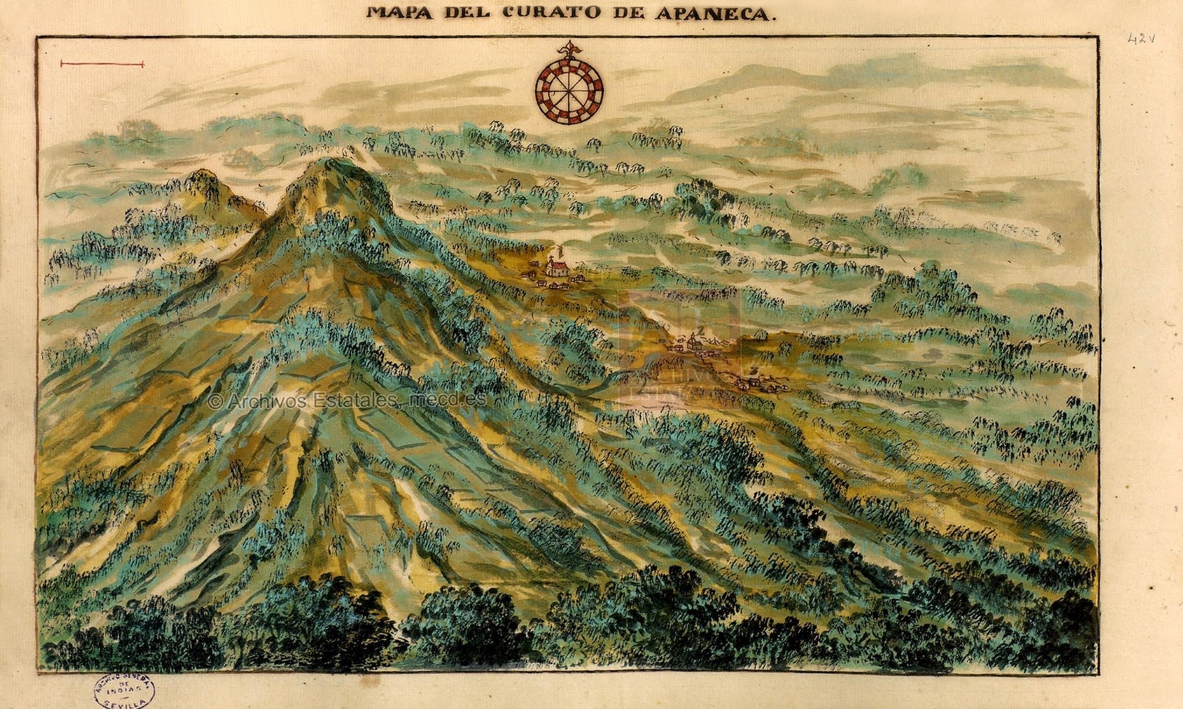
Español: Mapa del curato de Apaneca.
Los numeros representan el pueblo y sus anexos de la siguiente manera: 1. Pueblo de Apaneca Cavezera 2. Pueblo de Salquatitan 3. Pueblo de JuajuaEnglish: Map of the curato(parish) of Apaneca.
The numbers represent the town and its annexes in the following order: 1. Pueblo de Apaneca Cavezera (Head town) 2. Pueblo de Salquatitan 3. Pueblo de Juajua |
| Date | |
| Source | Descripcion Geografico-Moral de la Diocesis de Goathemala |
| Author | Pedro Cortés y Larraz |
Licensing
edit
|
This work is in the public domain in its country of origin and other countries and areas where the copyright term is the author's life plus 70 years or fewer. This work is in the public domain in the United States because it was published (or registered with the U.S. Copyright Office) before January 1, 1929. | |
| This file has been identified as being free of known restrictions under copyright law, including all related and neighboring rights. | |
File history
Click on a date/time to view the file as it appeared at that time.
| Date/Time | Thumbnail | Dimensions | User | Comment | |
|---|---|---|---|---|---|
| current | 00:32, 26 November 2016 | | 4,057 × 2,434 (15.52 MB) | AragonChristopherR17Z (talk | contribs) | User created page with UploadWizard |
You cannot overwrite this file.
File usage on Commons
There are no pages that use this file.
File usage on other wikis
The following other wikis use this file:
- Usage on es.wikipedia.org