File:Mapa territorios España2.svg

Size of this PNG preview of this SVG file: 800 × 457 pixels. Other resolutions: 320 × 183 pixels | 640 × 366 pixels | 1,024 × 585 pixels | 1,280 × 731 pixels | 2,560 × 1,462 pixels | 3,300 × 1,885 pixels.
Original file (SVG file, nominally 3,300 × 1,885 pixels, file size: 1.9 MB)
Captions
Captions
Add a one-line explanation of what this file represents
Summary edit
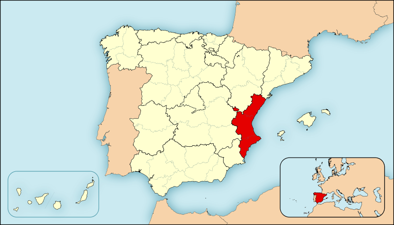
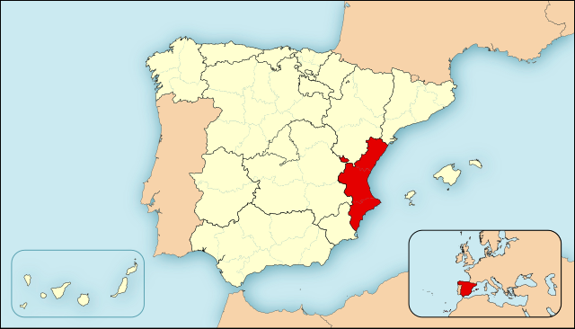
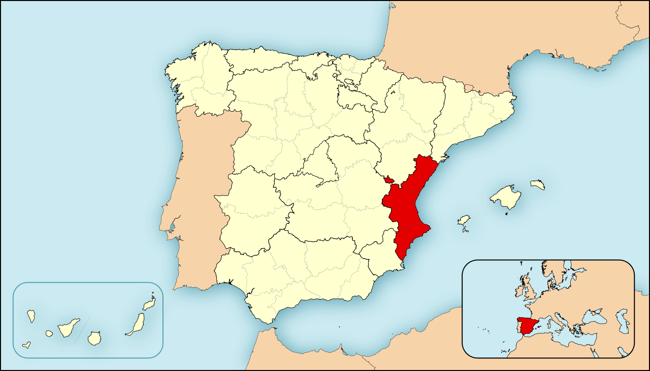
| Description | Ejemplo de mapas de localización para España. Los colores de esta versión se ajustan a otros mapas para Wikipedia, recomendados por el WikiProject Maps |
| Date | |
| Source | Own work |
| Author | HansenBCN |
| Other versions |
|
Licensing edit
| I, the copyright holder of this work, release this work into the public domain. This applies worldwide. In some countries this may not be legally possible; if so: I grant anyone the right to use this work for any purpose, without any conditions, unless such conditions are required by law. |
File history
Click on a date/time to view the file as it appeared at that time.
| Date/Time | Thumbnail | Dimensions | User | Comment | |
|---|---|---|---|---|---|
| current | 09:54, 27 April 2008 | | 3,300 × 1,885 (1.9 MB) | HansenBCN (talk | contribs) | Cambio de mapa, útil para geoloc, más preciso y lineas más sutiles. Formato más panorámico. |
| 15:23, 25 April 2008 |  | 545 × 365 (1.3 MB) | HansenBCN (talk | contribs) | {{Information |Description=Ejemplo de mapas de localización para España. Los colores de esta versión se ajustan a otros mapas para Wikipedia, recomendados por el ''WikiProject Maps'' |Source=self-made |Date=25/abril/2008 |Author= [[User:Ha |
You cannot overwrite this file.
File usage on Commons
The following page uses this file:
File usage on other wikis
The following other wikis use this file:
- Usage on es.wikipedia.org