File:Mapas escolares del Instituto Geográfico Nacional (Argentina) - Provincia de Entre Ríos - Físico Político (2017).pdf

Size of this JPG preview of this PDF file: 488 × 599 pixels. Other resolutions: 195 × 240 pixels | 391 × 480 pixels | 625 × 768 pixels | 834 × 1,024 pixels | 1,297 × 1,593 pixels.
Original file (1,297 × 1,593 pixels, file size: 1.58 MB, MIME type: application/pdf)
Captions
Captions
Add a one-line explanation of what this file represents
Summary edit
| Description |
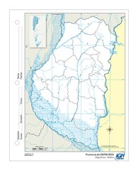
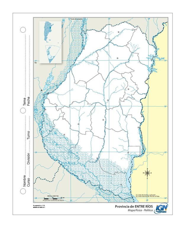
Español: Mapa físico político de la provincia de Entre Ríos hecho por el Instituto Geográfico Nacional de Argentina en octubre de 2017. |
|||||||||||
| Date | ||||||||||||
| Source | Instituto Geográfico Nacional (specific file) | |||||||||||
| Author |
|
|||||||||||

This file is in PDF format.
Portable Document Format (PDF) is a file format created by Adobe Systems for document exchange. PDF is used for representing two-dimensional documents in a manner independent of the application software, hardware, and operating system. Each PDF file encapsulates a complete description of a fixed-layout 2D document that includes the text, fonts, images, and 2D vector graphics which compose the documents. The best way to view PDF files is locally using a reader.Several free readers for every system are available at pdfreaders.org. |
Licensing edit
This file is licensed under the Creative Commons Attribution-Share Alike 4.0 International license.
- You are free:
- to share – to copy, distribute and transmit the work
- to remix – to adapt the work
- Under the following conditions:
- attribution – You must give appropriate credit, provide a link to the license, and indicate if changes were made. You may do so in any reasonable manner, but not in any way that suggests the licensor endorses you or your use.
- share alike – If you remix, transform, or build upon the material, you must distribute your contributions under the same or compatible license as the original.

|
This file, which was originally posted to an external website, has not yet been reviewed by an administrator or reviewer to confirm that the above license is valid. See Category:License review needed for further instructions.
|
File history
Click on a date/time to view the file as it appeared at that time.
| Date/Time | Thumbnail | Dimensions | User | Comment | |
|---|---|---|---|---|---|
| current | 16:32, 3 June 2023 |  | 1,297 × 1,593 (1.58 MB) | Lugamo94 (talk | contribs) | {{Information |Description={{es|Mapa físico político de la provincia de Entre Ríos hecho por el Instituto Geográfico Nacional de Argentina en octubre de 2017.}} |Source=[https://www.ign.gob.ar/AreaServicios/Descargas/MapasEscolares Instituto Geográfico Nacional] ([https://www.ign.gob.ar/gallery-app/mapas-escolares/download/entre_rios_mudo.pdf specific file]) |Date=2017-10 |Author={{creator|wikidata=Q261655}} |Permission= |other_versions= }} {{PDF}} == {{int:license-header}} == {{cc-by-sa-4.0... |
You cannot overwrite this file.
File usage on Commons
There are no pages that use this file.