File:Marquards alter Obst- und Gemüsegarten - panoramio.jpg

Size of this preview: 800 × 377 pixels. Other resolutions: 320 × 151 pixels | 640 × 302 pixels | 1,024 × 483 pixels | 1,280 × 603 pixels | 3,176 × 1,497 pixels.
Original file (3,176 × 1,497 pixels, file size: 5.62 MB, MIME type: image/jpeg)
Captions
Captions
Add a one-line explanation of what this file represents
Summary edit
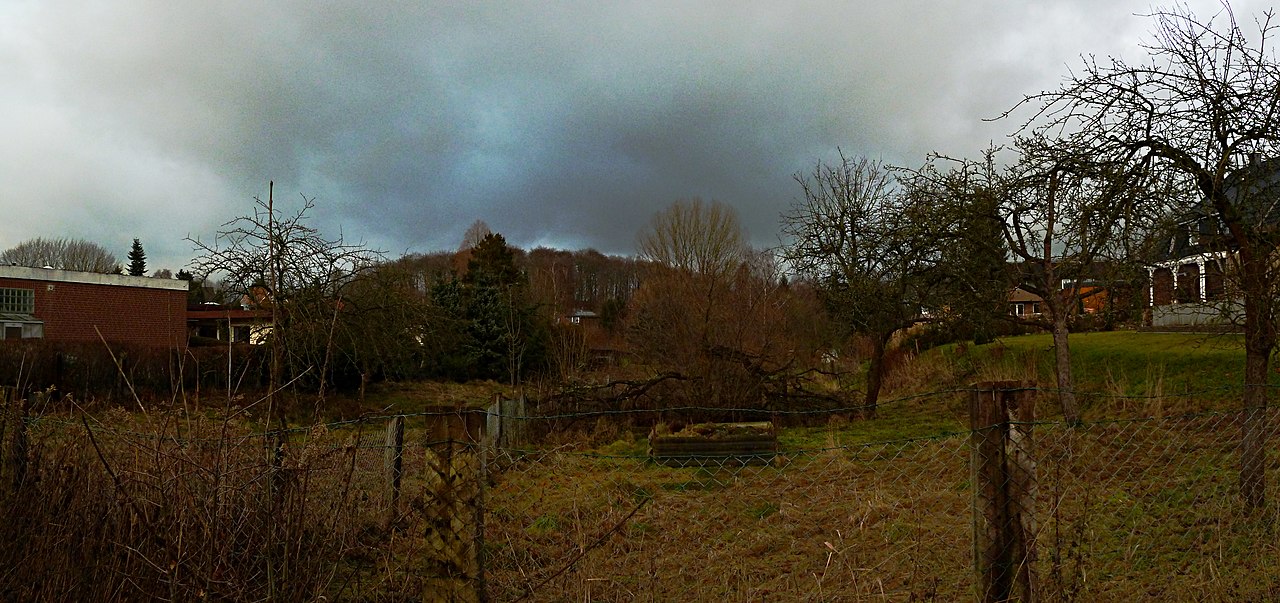
| Description | Marquards alter Obst- und Gemüsegarten | ||
| Date | Taken on 19 January 2011 | ||
| Source | https://web.archive.org/web/20161018020127/http://www.panoramio.com/photo/46791320 | ||
| Author | Axel Schnell | ||
| Permission (Reusing this file) |
This file is licensed under the Creative Commons Attribution-Share Alike 3.0 Unported license. Attribution: Axel Schnell
|
||
| Tags (from Panoramio photo page) | Hamburg, 2011, motherland, Rönneburg, Winter |
| Camera location | | View this and other nearby images on: OpenStreetMap |
|---|
File history
Click on a date/time to view the file as it appeared at that time.
| Date/Time | Thumbnail | Dimensions | User | Comment | |
|---|---|---|---|---|---|
| current | 07:40, 29 November 2016 | | 3,176 × 1,497 (5.62 MB) | Panoramio upload bot (talk | contribs) | == {{int:filedesc}} == {{Information |description=Marquards alter Obst- und Gemüsegarten |date={{Taken on|2011-01-19}} |source=http://www.panoramio.com/photo/46791320 |author=[http://www.panoramio.com/user/1408471?with_photo_id=46791320 Axel Schnell]... |
You cannot overwrite this file.
File usage on Commons
There are no pages that use this file.