File:Maryland regions map.svg

Size of this PNG preview of this SVG file: 800 × 459 pixels. Other resolutions: 320 × 184 pixels | 640 × 368 pixels | 1,024 × 588 pixels | 1,280 × 735 pixels | 2,560 × 1,470 pixels | 928 × 533 pixels.
Original file (SVG file, nominally 928 × 533 pixels, file size: 3.92 MB)
Captions
Captions
Add a one-line explanation of what this file represents
Summary edit
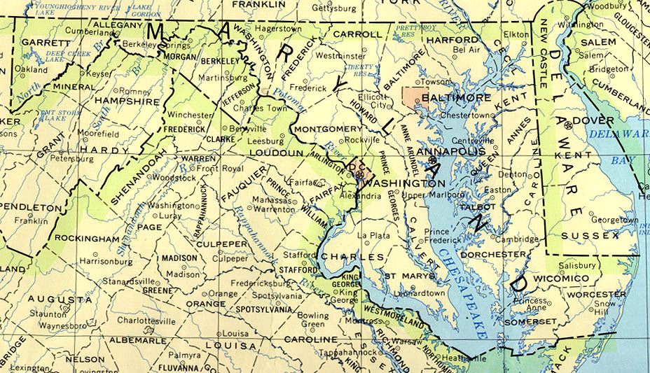
| Description | Maryland regions map for use on Wikivoyage, SVG base file |
| Date | |
| Source | Own work based on the US Geo survey map, map of Maryland, and map of Virginia |
| Author | Peter Fitzgerald |
| Other versions |
PNG files: |
Licensing edit
| This work has been released into the public domain by its author, User: (WT-shared) Peterfitzgerald at wts wikivoyage. This applies worldwide. In some countries this may not be legally possible; if so: User: (WT-shared) Peterfitzgerald at wts wikivoyage grants anyone the right to use this work for any purpose, without any conditions, unless such conditions are required by law.
|
Original upload log edit
| This file was imported from Wikivoyage WTS. |
The original description page was here. All following user names refer to wts.wikivoyage-old.
- 2008-03-06 04:12 (WT-shared) Peterfitzgerald archive copy at the Wayback Machine 928×533 (814368 bytes) {{Imagecredit|credit=Peter Fitzgerald|captureDate=5 March 2008|location=Maryland|source=[http://www.lib.utexas.edu/maps/united_states/maryla (Import from wikitravel.org/shared)
- 2008-03-07 00:42 (WT-shared) Peterfitzgerald archive copy at the Wayback Machine 928×533 (814368 bytes) move Cecil Co. to Eastern Shore (Import from wikitravel.org/shared)
- 2008-09-10 15:44 (WT-shared) Peterfitzgerald archive copy at the Wayback Machine 928×533 (3120140 bytes) overhaul, mos (Import from wikitravel.org/shared)
- 2009-03-29 07:38 (WT-shared) Peterfitzgerald archive copy at the Wayback Machine 928×533 (4114119 bytes) improved (hopefully) aesthetics (Import from wikitravel.org/shared)
File history
Click on a date/time to view the file as it appeared at that time.
| Date/Time | Thumbnail | Dimensions | User | Comment | |
|---|---|---|---|---|---|
| current | 12:04, 29 November 2012 | | 928 × 533 (3.92 MB) | OgreBot (talk | contribs) | (BOT): Reverting to most recent version before archival |
| 12:04, 29 November 2012 |  | 928 × 533 (2.98 MB) | OgreBot (talk | contribs) | (BOT): Uploading old version of file from wts.wikivoyage; originally uploaded on 2008-09-10 15:44:22 by (WT-shared) Peterfitzgerald | |
| 12:04, 29 November 2012 |  | 928 × 533 (795 KB) | OgreBot (talk | contribs) | (BOT): Uploading old version of file from wts.wikivoyage; originally uploaded on 2008-03-07 00:42:23 by (WT-shared) Peterfitzgerald | |
| 12:04, 29 November 2012 |  | 928 × 533 (795 KB) | OgreBot (talk | contribs) | (BOT): Uploading old version of file from wts.wikivoyage; originally uploaded on 2008-03-06 04:12:10 by (WT-shared) Peterfitzgerald | |
| 21:23, 17 November 2012 |  | 928 × 533 (3.92 MB) | MGA73bot2 (talk | contribs) | {{BotMoveToCommons|wts.oldwikivoyage|year={{subst:CURRENTYEAR}}|month={{subst:CURRENTMONTHNAME}}|day={{subst:CURRENTDAY}}}} == {{int:filedesc}} == {{Information |description=Maryland Regions map. basic unit = counties, Maryland * Map of: Maryland¤ '''... |
You cannot overwrite this file.
File usage on Commons
There are no pages that use this file.