File:Massachusetts Route 122.png

Size of this preview: 800 × 470 pixels. Other resolutions: 320 × 188 pixels | 640 × 376 pixels | 1,150 × 676 pixels.
Original file (1,150 × 676 pixels, file size: 64 KB, MIME type: image/png)
Captions
Captions
Add a one-line explanation of what this file represents
Summary edit
| Description |
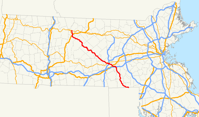
English: Map of Massachusetts Route 122 |
| Date | |
| Source | Own work by uploader, using Quantum GIS and Gimp based on public data from Office of Geographic and Environmental Information (MassGIS), Commonwealth of Massachusetts Executive Office of Environmental Affairs - http://www.mass.gov/mgis/dd-over.htm |
| Author | Sswonk |
Licensing edit
| I, the copyright holder of this work, release this work into the public domain. This applies worldwide. In some countries this may not be legally possible; if so: I grant anyone the right to use this work for any purpose, without any conditions, unless such conditions are required by law. |
File history
Click on a date/time to view the file as it appeared at that time.
| Date/Time | Thumbnail | Dimensions | User | Comment | |
|---|---|---|---|---|---|
| current | 03:34, 12 July 2009 | | 1,150 × 676 (64 KB) | Sswonk (talk | contribs) | {{Information |Description={{en|1=Map of Massachusetts Route 122}} |Source=Own work by uploader, using Quantum GIS and Gimp based on public data from Office of Geographic and Environmental Information (MassGIS), Commonwealth of Massachusetts Executive Off |
You cannot overwrite this file.
File usage on Commons
There are no pages that use this file.
File usage on other wikis
The following other wikis use this file:
- Usage on de.wikipedia.org