File:Mayurbhanj Midnapore border 1776.jpg

Size of this preview: 800 × 600 pixels. Other resolutions: 320 × 240 pixels | 640 × 480 pixels | 1,024 × 768 pixels | 1,280 × 960 pixels | 2,560 × 1,920 pixels | 3,028 × 2,271 pixels.
Original file (3,028 × 2,271 pixels, file size: 10.25 MB, MIME type: image/jpeg)
Captions
Captions
Add a one-line explanation of what this file represents
Summary edit
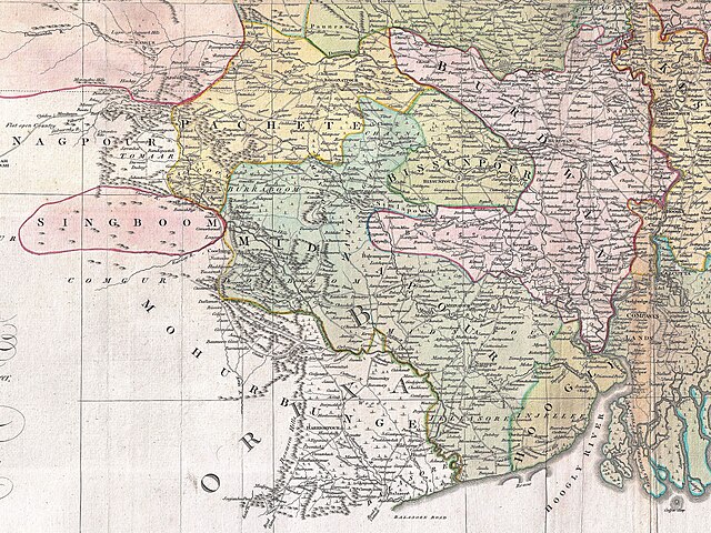
| Description |
English: A cropped map of James Rennell's Bengal and Bihar showing 1776 Orissa (Mayurbhanj) and Bengal border. |
| Date | |
| Source | An actual survey of the province Bengal, Bihar & c. |
| Author | James Rennell |
| Other versions |

Licensing edit
|
This work is in the public domain in its country of origin and other countries and areas where the copyright term is the author's life plus 100 years or fewer. This work is in the public domain in the United States because it was published (or registered with the U.S. Copyright Office) before January 1, 1929. | |
| This file has been identified as being free of known restrictions under copyright law, including all related and neighboring rights. | |
File history
Click on a date/time to view the file as it appeared at that time.
| Date/Time | Thumbnail | Dimensions | User | Comment | |
|---|---|---|---|---|---|
| current | 15:52, 17 July 2023 | | 3,028 × 2,271 (10.25 MB) | MaxA-Matrix (talk | contribs) | Better quality, clear visibility of names |
| 07:22, 1 July 2023 |  | 1,975 × 1,481 (2.09 MB) | MaxA-Matrix (talk | contribs) | cropped 4:3 | |
| 12:08, 30 June 2023 |  | 1,386 × 1,387 (1.32 MB) | MaxA-Matrix (talk | contribs) | Uploaded a work by James Rennell from An actual survey of the province Bengal, Bihar & c. with UploadWizard |
You cannot overwrite this file.
File usage on Commons
There are no pages that use this file.
File usage on other wikis
The following other wikis use this file:
- Usage on en.wikipedia.org
- Usage on sat.wikipedia.org