File:Mediterranean map 1875.jpg

Size of this preview: 800 × 372 pixels. Other resolutions: 320 × 149 pixels | 640 × 297 pixels | 1,024 × 476 pixels | 1,280 × 595 pixels | 2,560 × 1,189 pixels | 13,961 × 6,485 pixels.
Original file (13,961 × 6,485 pixels, file size: 25.33 MB, MIME type: image/jpeg)
Captions
Captions
Add a one-line explanation of what this file represents
Summary
edit
| Warning | The original file is very high-resolution. It might not load properly or could cause your browser to freeze when opened at full size. |
|---|
| Description |
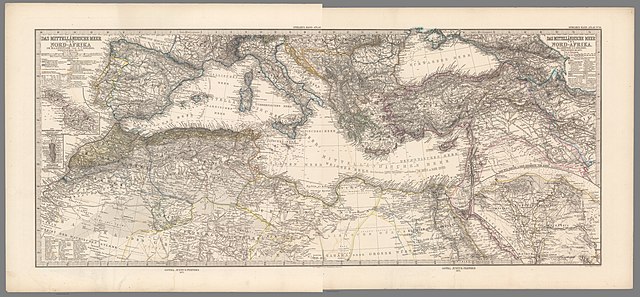
English: map of the Mediterranean and North Africa |
| Date | |
| Source | https://www.davidrumsey.com/luna/servlet/detail/RUMSEY~8~1~333114~90101275 |
| Author | Adolf Stieler |
Licensing
edit
|
This work is in the public domain in its country of origin and other countries and areas where the copyright term is the author's life plus 70 years or fewer. This work is in the public domain in the United States because it was published (or registered with the U.S. Copyright Office) before January 1, 1929. | |
| This file has been identified as being free of known restrictions under copyright law, including all related and neighboring rights. | |
File history
Click on a date/time to view the file as it appeared at that time.
| Date/Time | Thumbnail | Dimensions | User | Comment | |
|---|---|---|---|---|---|
| current | 15:48, 6 May 2021 | | 13,961 × 6,485 (25.33 MB) | Ratzer (talk | contribs) | Uploaded a work by Adolf Stieler from https://www.davidrumsey.com/luna/servlet/detail/RUMSEY~8~1~333114~90101275 with UploadWizard |
You cannot overwrite this file.
File usage on Commons
The following page uses this file:
File usage on other wikis
The following other wikis use this file:
- Usage on de.wikipedia.org