File:Melanesien (östliche Hälfte) 1870 Karte.jpg

Size of this preview: 800 × 573 pixels. Other resolutions: 320 × 229 pixels | 640 × 459 pixels | 1,024 × 734 pixels | 1,280 × 917 pixels | 2,372 × 1,700 pixels.
Original file (2,372 × 1,700 pixels, file size: 1.73 MB, MIME type: image/jpeg)
Captions
Captions
Add a one-line explanation of what this file represents
Summary edit
| Description |
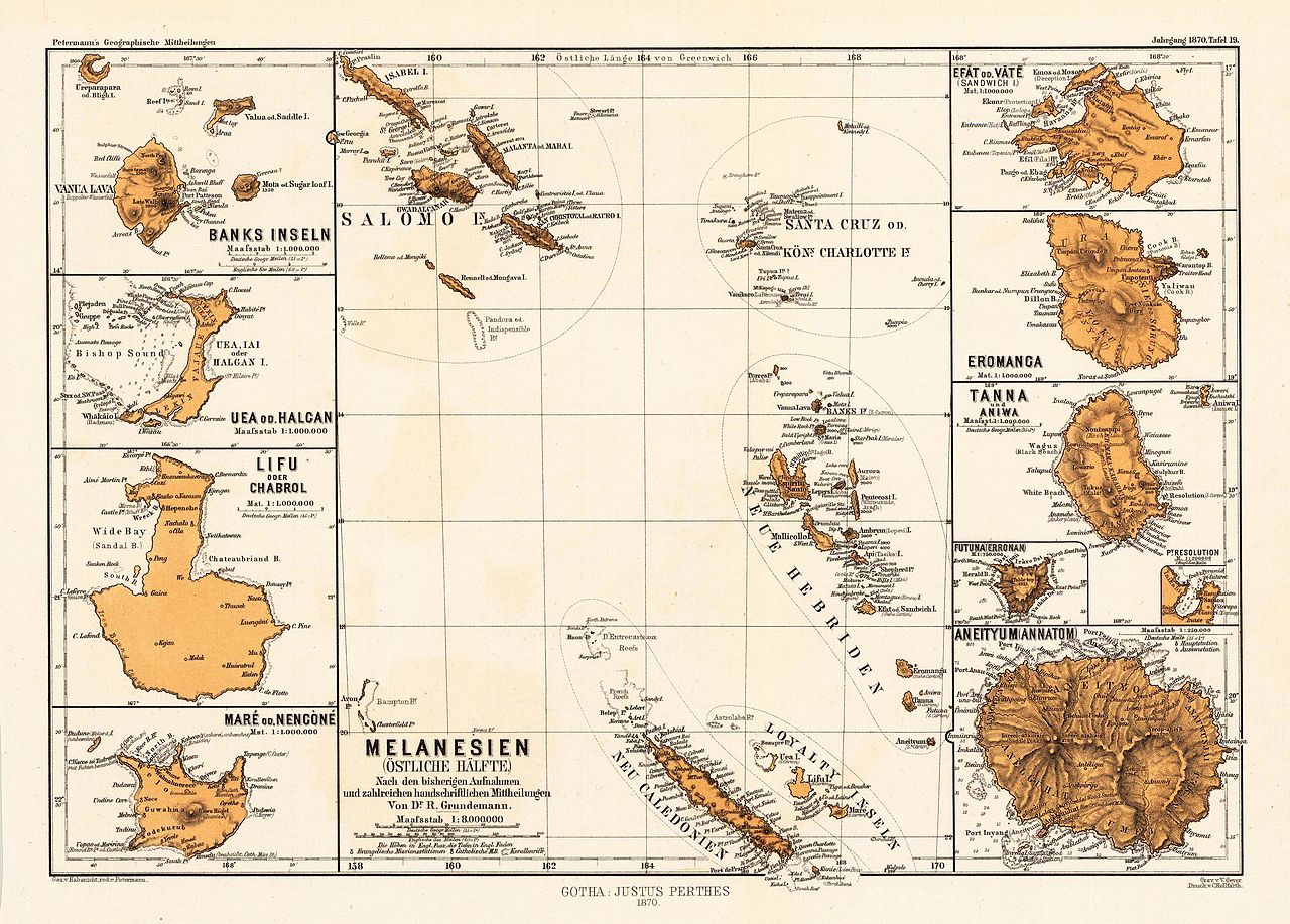
English: atlas page of map insets of islands of eastern Melanesia: Banks-Inseln, Uea od. Halcan, Lifo od. Chabrol, Maré od. Nencòné, Melanesien (östliche Hälfte, mit Salomo Inseln, Santa Cruz od. Königin Charlotte Inseln, Neue Hebriden, Loyalty Inseln, Neu Caledonien), Efat od. Vate (Sandwich I.), Eromanca, Tanna und Aniwa, Futuna (Erronan), Aneityum (Annatom) |
| Date | |
| Source | https://www.bergbook.com/images/22476-01.jpg, Petermann's Geographische Mitteilungen, Jahrgang 1970, Tafel 19 |
| Author | not stated |
| Other versions |

_1870_Karte.jpg)

.jpg)
_1870_Karte.jpg&action=edit§ion=1)
Licensing edit
_1870_Karte.jpg&action=edit§ion=2)
|
This work is in the public domain in its country of origin and other countries and areas where the copyright term is the author's life plus 70 years or fewer. This work is in the public domain in the United States because it was published (or registered with the U.S. Copyright Office) before January 1, 1929. | |
| This file has been identified as being free of known restrictions under copyright law, including all related and neighboring rights. | |
File history
Click on a date/time to view the file as it appeared at that time.
| Date/Time | Thumbnail | Dimensions | User | Comment | |
|---|---|---|---|---|---|
| current | 07:55, 6 September 2016 | | 2,372 × 1,700 (1.73 MB) | Ratzer (talk | contribs) | User created page with UploadWizard |
You cannot overwrite this file.
File usage on Commons
The following 4 pages use this file:
_1870_Karte.jpg&oldid=865798783)