File:Mexico Coahuila Viesca location map.svg

Size of this PNG preview of this SVG file: 419 × 600 pixels. Other resolutions: 168 × 240 pixels | 335 × 480 pixels | 537 × 768 pixels | 715 × 1,024 pixels | 1,431 × 2,048 pixels | 1,752 × 2,507 pixels.
Original file (SVG file, nominally 1,752 × 2,507 pixels, file size: 318 KB)
Captions
Captions
Add a one-line explanation of what this file represents
W3C-validity not checked.
| Description |
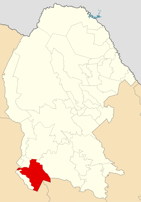
Location Map of Viesca in Coahuila Equirectangular projection, Geographic limits of the map:
|
| Date | |
| Source | Own work |
| Author | Battroid (talk) |
I, the copyright holder of this work, hereby publish it under the following license:
| I, the copyright holder of this work, release this work into the public domain. This applies worldwide. In some countries this may not be legally possible; if so: I grant anyone the right to use this work for any purpose, without any conditions, unless such conditions are required by law. |
File history
Click on a date/time to view the file as it appeared at that time.
| Date/Time | Thumbnail | Dimensions | User | Comment | |
|---|---|---|---|---|---|
| current | 06:36, 13 August 2011 | | 1,752 × 2,507 (318 KB) | Battroid (talk | contribs) | {{ValidSVG}} {{Information |Description=Location Map of Viesca in Coahuila Equirectangular projection, Geographic limits of the map: * N: 29.94° N * S: 24.48° N * W: 104.00° W * E: 99.70° W |Source={{own work}} |Date=2011-08-12 |Autho |
| 06:36, 13 August 2011 |  | 1,752 × 2,507 (318 KB) | Battroid (talk | contribs) | {{ValidSVG}} {{Information |Description=Location Map of Viesca in Coahuila Equirectangular projection, Geographic limits of the map: * N: 29.94° N * S: 24.48° N * W: 104.00° W * E: 99.70° W |Source={{own work}} |Date=2011-08-12 |Autho |
You cannot overwrite this file.
File usage on Commons
There are no pages that use this file.
File usage on other wikis
The following other wikis use this file:
- Usage on es.wikipedia.org
- Usage on hu.wikipedia.org
- Usage on it.wikipedia.org