File:Mexico Estado de Mexico location map (urban areas).svg

Size of this PNG preview of this SVG file: 512 × 511 pixels. Other resolutions: 240 × 240 pixels | 481 × 480 pixels | 770 × 768 pixels | 1,026 × 1,024 pixels | 2,052 × 2,048 pixels.
Original file (SVG file, nominally 512 × 511 pixels, file size: 1.72 MB)
Captions
Captions
Add a one-line explanation of what this file represents
Summary
edit.svg&action=edit§ion=1)
| Description |
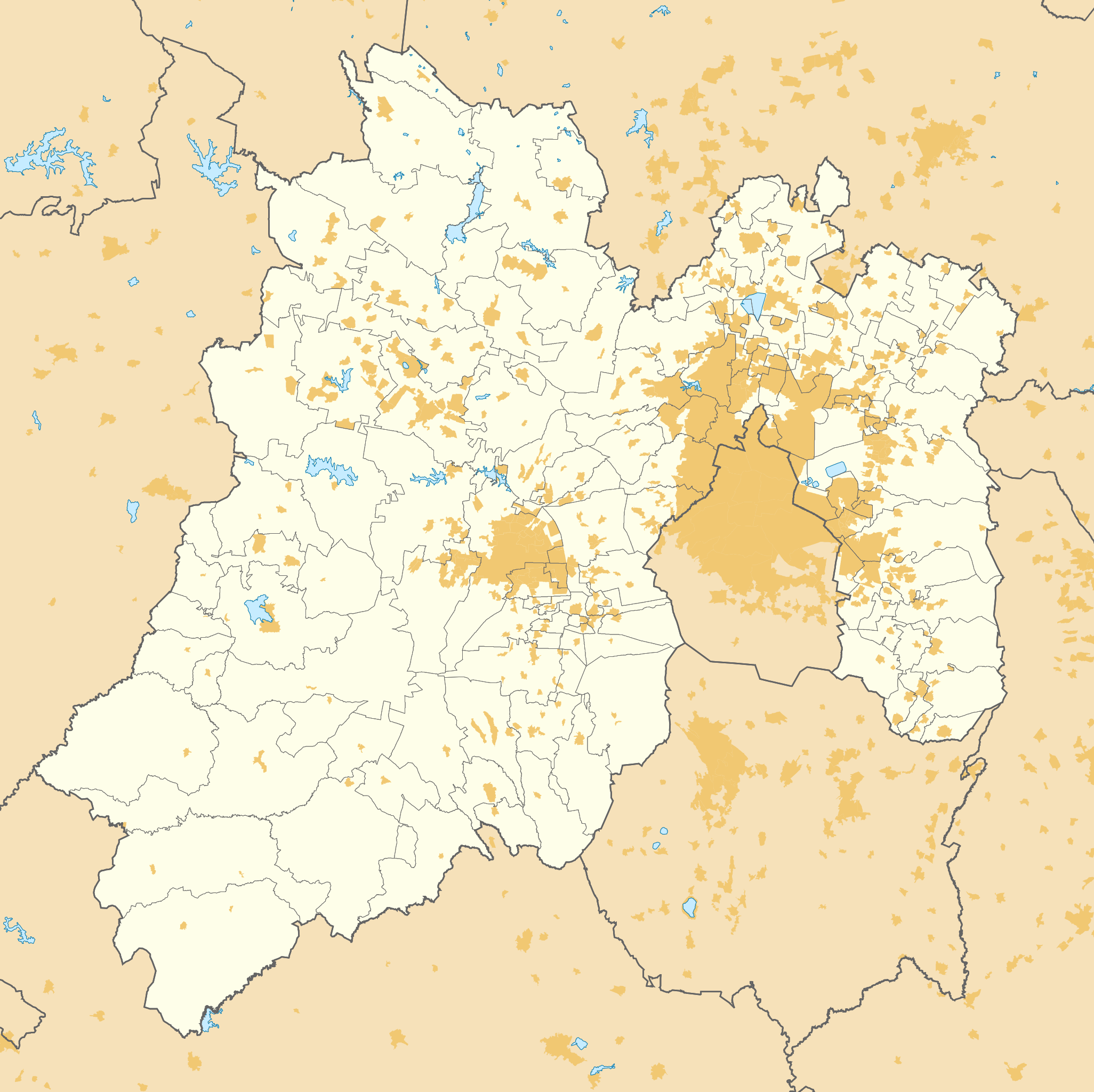
English: Urban areas in the Mexico State, Mexico. |
| Date | |
| Source |
|
| Author | Addicted04 |
Licensing
edit.svg&action=edit§ion=2)
I, the copyright holder of this work, hereby publish it under the following license:
This file is licensed under the Creative Commons Attribution-Share Alike 4.0 International license.
- You are free:
- to share – to copy, distribute and transmit the work
- to remix – to adapt the work
- Under the following conditions:
- attribution – You must give appropriate credit, provide a link to the license, and indicate if changes were made. You may do so in any reasonable manner, but not in any way that suggests the licensor endorses you or your use.
- share alike – If you remix, transform, or build upon the material, you must distribute your contributions under the same or compatible license as the original.
File history
Click on a date/time to view the file as it appeared at that time.
| Date/Time | Thumbnail | Dimensions | User | Comment | |
|---|---|---|---|---|---|
| current | 17:41, 28 April 2015 | | 512 × 511 (1.72 MB) | Addicted04 (talk | contribs) | User created page with UploadWizard |
You cannot overwrite this file.
File usage on Commons
There are no pages that use this file.
File usage on other wikis
The following other wikis use this file:
- Usage on de.wikipedia.org
- Usage on en.wikipedia.org
- Usage on es.wikipedia.org
- Cuautitlán Izcalli
- Zacazonapan
- Aeropuerto Internacional Lic. Adolfo López Mateos
- Acambay
- Santo Tomás de los Plátanos
- Valle de Bravo
- San Salvador Atenco
- Huixquilucan
- Metepec (Estado de México)
- Chiconcuac de Juárez
- Chalco de Díaz Covarrubias
- Texcoco de Mora
- Toluca de Lerdo
- Malinalco
- Municipio de Santo Tomás
- Anexo:Patrimonio de la Humanidad en México
- Santiago Cuautlalpan (Texcoco)
- Colorines
- Villa Cuauhtémoc
- Amecameca de Juárez
- Ecatepec de Morelos (ciudad)
- Atlacomulco de Fabela
- Municipio de Tenango del Aire
- Acolman de Nezahualcóyotl
- Atlautla de Victoria
- Santa Cruz Atizapán
- La Purificación Tepetitla
- Teotihuacán de Arista
- Los Reyes Acaquilpan
- Municipio de Chimalhuacán
- Tepotzotlán
- Chalma (estado de México)
- Santiago Tianguistenco
- Concepción Jolalpan
- Hueypoxtla
- Apaxco de Ocampo
- San Pedro Tultepec
- Administradora Mexiquense del Aeropuerto Internacional de Toluca
- Tepexpan
- San Francisco Chimalpa
- Ixtapan de la Sal
- Nepantla de Sor Juana Inés de la Cruz
- San Lucas Huitzilhuacán
- Tlapanaloya
- San Marcos Yachihuacaltepec
- Río Frío de Juárez
- Tenancingo de Degollado
View more global usage of this file.
.svg)
.svg&oldid=672632693)