File:Mexico Quintana Roo location map.svg

Size of this PNG preview of this SVG file: 409 × 600 pixels. Other resolutions: 163 × 240 pixels | 327 × 480 pixels | 523 × 768 pixels | 698 × 1,024 pixels | 1,396 × 2,048 pixels | 960 × 1,408 pixels.
Original file (SVG file, nominally 960 × 1,408 pixels, file size: 832 KB)
Captions
Captions
Add a one-line explanation of what this file represents
Summary edit
W3C-validity not checked.
| Description |
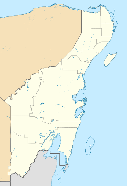
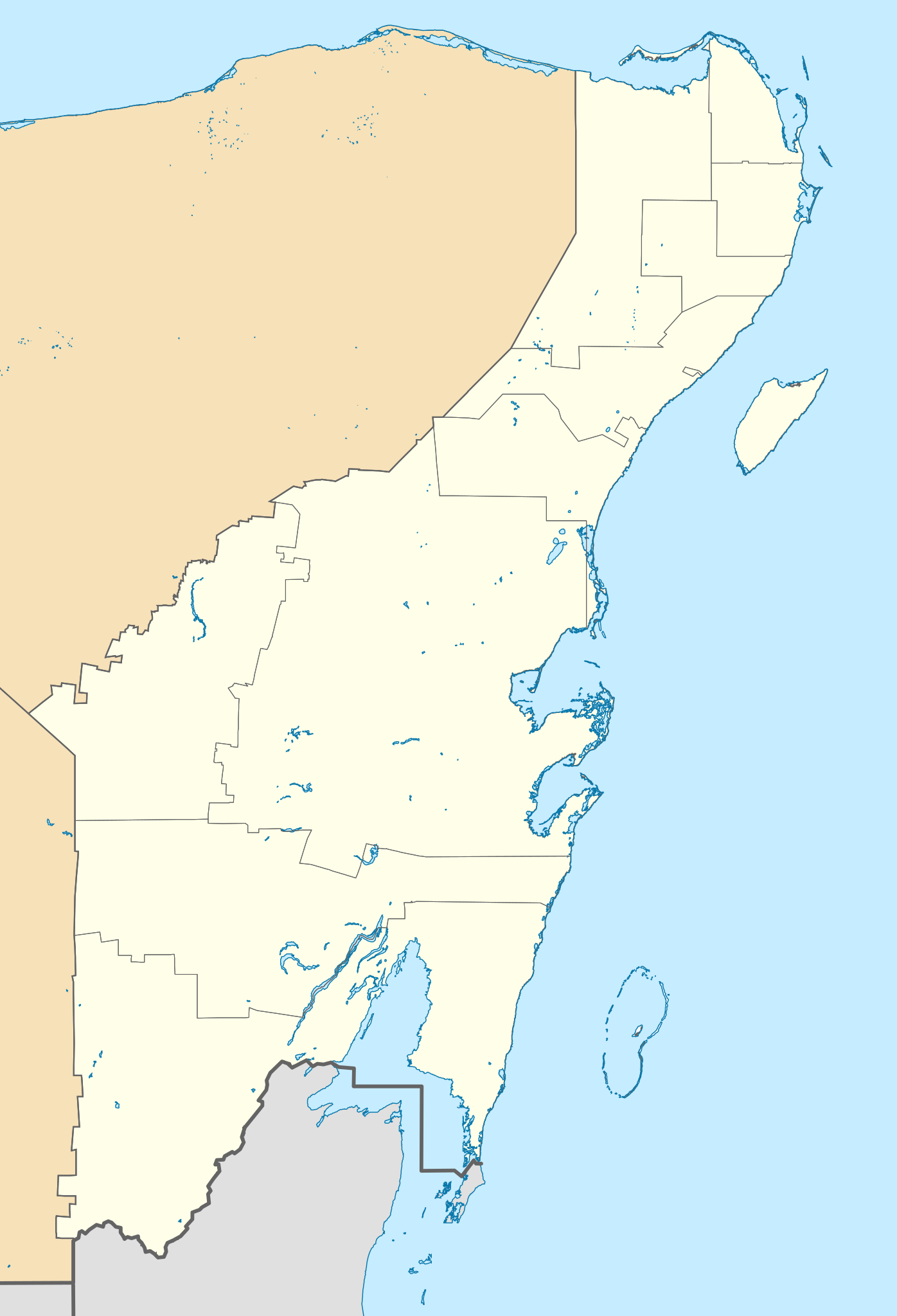
Location Map of Quintana Roo. EPSG:3857 projection, Geographic limits of the map:
|
| Date | |
| Source |
|
| Author | Addicted04 (talk) |
Licensing edit
I, the copyright holder of this work, hereby publish it under the following license:
This file is licensed under the Creative Commons Attribution-Share Alike 3.0 Unported license.
- You are free:
- to share – to copy, distribute and transmit the work
- to remix – to adapt the work
- Under the following conditions:
- attribution – You must give appropriate credit, provide a link to the license, and indicate if changes were made. You may do so in any reasonable manner, but not in any way that suggests the licensor endorses you or your use.
- share alike – If you remix, transform, or build upon the material, you must distribute your contributions under the same or compatible license as the original.
File history
Click on a date/time to view the file as it appeared at that time.
| Date/Time | Thumbnail | Dimensions | User | Comment | |
|---|---|---|---|---|---|
| current | 15:48, 22 July 2021 | | 960 × 1,408 (832 KB) | Alnatuo (talk | contribs) | Corrected border positions |
| 14:46, 22 July 2021 |  | 960 × 1,408 (832 KB) | Alnatuo (talk | contribs) | Reverted to version as of 14:35, 22 July 2021 (UTC) | |
| 14:44, 22 July 2021 |  | 960 × 1,408 (850 KB) | Alnatuo (talk | contribs) | Reverted to version as of 22:38, 26 April 2015 (UTC) | |
| 14:35, 22 July 2021 |  | 960 × 1,408 (832 KB) | Alnatuo (talk | contribs) | Added Municipality of Puerto Morelos | |
| 22:38, 26 April 2015 |  | 960 × 1,408 (850 KB) | Addicted04 (talk | contribs) | Fix | |
| 16:42, 25 April 2015 |  | 960 × 1,408 (850 KB) | Addicted04 (talk | contribs) | New map (INEGI 2014) | |
| 22:37, 17 March 2012 |  | 1,056 × 1,408 (341 KB) | Battroid (talk | contribs) | == Summary == {{ValidSVG}} {{Information |Description=Location Map of Quintana Roo Equirectangular projection, E/W stretching 110 %. Geographic limits of the map: * N: 21.70° N * S: 17.70° N * W: 89.40° W * E: 86.50° W |Source=... | |
| 19:03, 20 November 2011 |  | 1,056 × 1,408 (326 KB) | Addicted04 (talk | contribs) | borders | |
| 00:05, 8 August 2011 |  | 1,056 × 1,408 (326 KB) | Addicted04 (talk | contribs) | +Bacalar | |
| 23:33, 7 August 2011 |  | 1,056 × 1,408 (325 KB) | Addicted04 (talk | contribs) | +Banco Chinchorro |
You cannot overwrite this file.
File usage on Commons
The following 8 pages use this file:
File usage on other wikis
The following other wikis use this file:
- Usage on ar.wikipedia.org
- Usage on ba.wikipedia.org
- Usage on bg.wikipedia.org
- Usage on ceb.wikipedia.org
- Usage on ce.wikipedia.org
- Usage on de.wikipedia.org
- Cancún
- Cozumel
- X-Cacal Guardia
- Felipe Carrillo Puerto (Quintana Roo)
- Chetumal
- Playa del Carmen
- Sistema Sac Actun
- Flughafen Cancún
- Wikipedia:Kartenwerkstatt/Positionskarten/Nordamerika
- Estadio Beto Ávila
- Punta Allen
- Estadio Olímpico Andrés Quintana Roo
- Benutzer:Alfie66/Spielwiese
- Sistema Ox Bel Ha
- Cobá (Ort)
- Punta Nizuc
- Sistema Dos Ojos
- Puerto Morelos
- Holbox
- Vorlage:Positionskarte Mexiko Quintana Roo
- Bacalar
- Laguna Boca Paila
- Akumal
- Benutzer:Wasquewhat/Xpu-Há
- Choo-Ha
- San Miguel de Cozumel
- Flughafen Tulum
- Usage on en.wikipedia.org
View more global usage of this file.